Voennyh Topografov, Southwest Face, The Lost World
China, Xinjiang, Tien Shan

Voennyh Topografov (Peak of Military Topographers, 6,873m) is located near the border between Kyrgyzstan and China, east of giant Jengish Chokusu (Pik Pobeda). Base camp is on the South Inylchek Glacier, which can be reached by helicopter in 40 minutes and is at an altitude of 4,000 meters. The camp is relatively comfortable—there is a washroom, a canteen, Wi-Fi, and tents where you can stand up.
To reach the south side of Voennyh Topografov, it is necessary to trek up the South Inylchek Glacier, then branch south and east on the Zvyozdochka Glacier, which eventually reaches Chon-Toren Pass (5,400m) on the frontier. Once over the pass, the southwest face of Voennyh Topografov is not far away.
This face is composed of a big rock wall that is about 1,150 meters high, with a snow and ice face below it and alpine terrain leading to the summit. In all, our planned route would gain about 1,925 meters. Two prior routes climbed the south side of the mountain, farther to the right: the south ridge (Dzhuliy et al., 2006) and Impromptu (Golovchenko-Grigorev-Nilov, 2021).
Ratmir Mukhametzyanov, Aleksei Sukharev, and I had already done some difficult climbs together, including the second ascent of the Tukhvatullin Route on the north face of Ak-Su and a new route up the north face of Svarog, both in 2021, in Kyrgyzstan. In 2022, with Nadya Oleneva, Ratmir and I climbed a direct new route up the north face of Korolyova in the Western Kokshaal-too.
To acclimatize before attempting Voennyh Topografov, Ratmir guided on Pik Lenin, reaching 6,400 meters, and spent two nights at 6,100 meters. Aleksei and I each climbed Khan Tengri (ca 7,000m).

At the end of July, we started our approach, stopping for the night on the heavily crevassed Zvyozdochka Glacier. By noon the next day, we were at Chon-Toren Pass, where we flew a drone to find the best way through the cornices on the other side of the pass and photographed the wall on Voennyh Topografov in half profile; these photos ended up being our main way of orienting ourselves on the route. We left some gear on the pass and spent that night on the far side, without going any closer to the peak because of slushy snow.
On August 2, we started up the face at an elevation of 4,950 meters, and that day climbed 300 meters of ice and 240 meters of difficult rock. Aleksei led all day.
I took the lead the next day, on difficult rock climbing, including drilling holes for bat-hooks. As a whole, the climbing on the wall was about one-third aid and two- thirds free climbing. We covered only 120 meters that day and didn’t make it to the ledge we’d hoped to reach for a bivouac; instead, we returned to the previous site for another night. We spent each night in a two-man tent, sharing a sleeping bag.
Day three on the route involved more difficult aid on a smooth, vertical wall, eventually moving to the right under a big roof line. In all, during the big-wall climb, we placed about ten bolts and ten removable bolts. Temperatures on the face ranged from 5°C to -20°C. By the end of the day, we had made our way to a snowy ledge where, with the help of a hammock, we built a comfortable site for our small tent.
The terrain on the following day was more manageable, and before lunch we had made our way to a huge ledge that crosses the whole wall. The terrain above was overhanging. We decided to bivouac on the ledge, and Aleksei stayed there to dry our wet sleeping bag and tent while Ratmir led five more pitches along thin cracks. He used small cams and sometimes FiFis, a Russian invention that combines a modified ice-tool pick with a handle, used for both speed climbing on ice or aid on rock. High on the wall, our hand drill broke, but we fixed it with some tape; soon afterward, the drill and one of our hammers were dropped. The climbing remained difficult until lunchtime the next day, but by evening we had reached a large, snowy ledge that marked the exit from the wall onto the south ridge.
On day six of the climb (eight days out from base camp), we moved up the south ridge, with difficult climbing at times, alternating between snow and ice and rocky terrain. Toward evening, after climbing 300 meters, we gained the northwest ridge of Voennyh Topografov and spent a comfortable night under a rock roof at 6,700 meters.
The next morning, August 7, we started early and climbed to the western summit and then on to the main peak, in stormy weather, before starting our descent along the northwest ridge. The sky cleared during our descent, but we wished we had more than two ice axes for the three of us on the narrow, corniced ridge. Descending off the ridge, we hung up a rope on one of the rappels and had to abandon it. Nonetheless, we were back at Chon-Toren Pass by 5 p.m.
On the final day, we woke at 2 a.m., but there was no visibility, so we had to wait until dawn to start the long trek down. After 20 kilometers of hard work, we made it to base camp on the South Inylchek around midnight, where the staff had kindly left us dinner and two bottles of hot water.
SUMMARY: First ascent of the southwest wall of Voennyh Topografov (6,873m), by Ratmir Mukhametzyanov, Alexander Parfyonov, and Aleksei Sukharev, all from Russia. They descended by the northwest ridge. The trio spent six days climbing the rock wall, rated 6c A4 M4, and summited on August 7, 2023. The round trip from base camp took ten days. Their route was named The Lost World (Russian 6B).
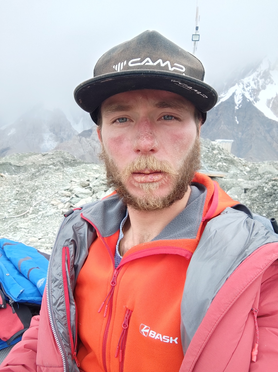
ABOUT THE AUTHOR: Alexander Parfyonov lives in Novosibirsk in southern Russia, where he heads the quality-control office of a welding plant. He became a Master of Sport in the Russian system in 2016.
This story also relied on reports by the climbers published at Mountain.ru. Kat Tancock provided translation assistance.
Media Gallery