Khurdopin Sar, First Ascent, Via South Couloir and North Ridge
Pakistan, Karakoram, Virjerab Muztagh
Julien Priour and I were in the Shimshal area in October. After finding very dry and unfavorable conditions on several faces, we decided to explore unclimbed Khurdopin Sar (6,310m map height but measured with inReach at 6,458m; 36°15’25.34”N, 75°33’32.98”E). Khurdopin had been the objective of several expeditions over the last dozen years, in 2013, 2017, 2023, and even earlier in 2025.
From Shimshal, we walked southeast up the main valley, branching right and continuing up the lower Khurdopin Glacier for two more days to establish a camp at Shereerin (various spellings, 3,800m). Our two porters returned down the valley and we continued alone, entering the glaciated valley that descends from the west face of Khurdopin Sar. We made our base camp at 4,900 meters and then a high camp, on the glacier itself, at 5,300 meters.
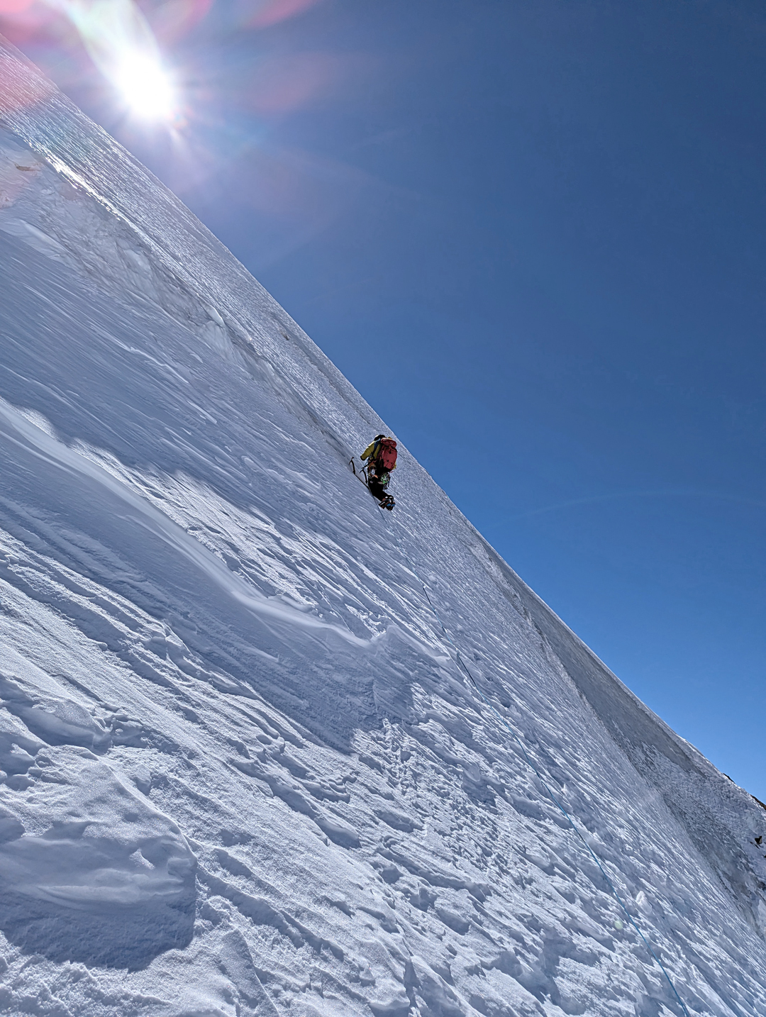
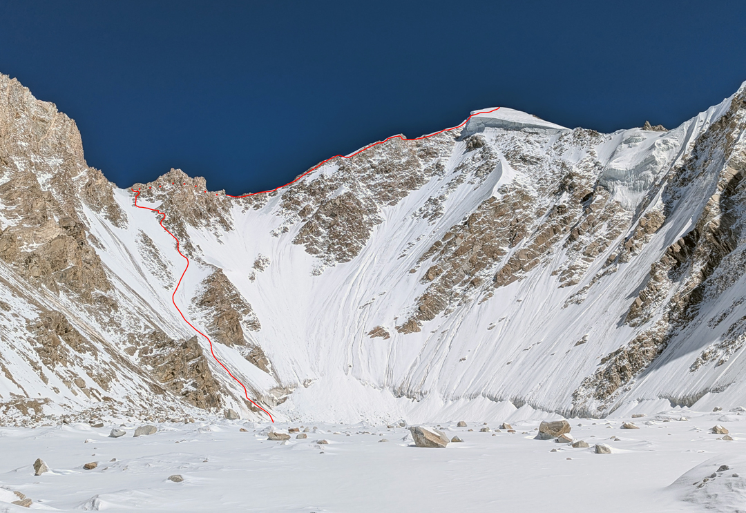
After a single rest day, we left high camp at 6 a.m. on October 14 for a single-push ascent. We chose the south couloir leading to the west ridge, which would have varied terrain—snow, ice, and mixed—and slopes up to 70°.
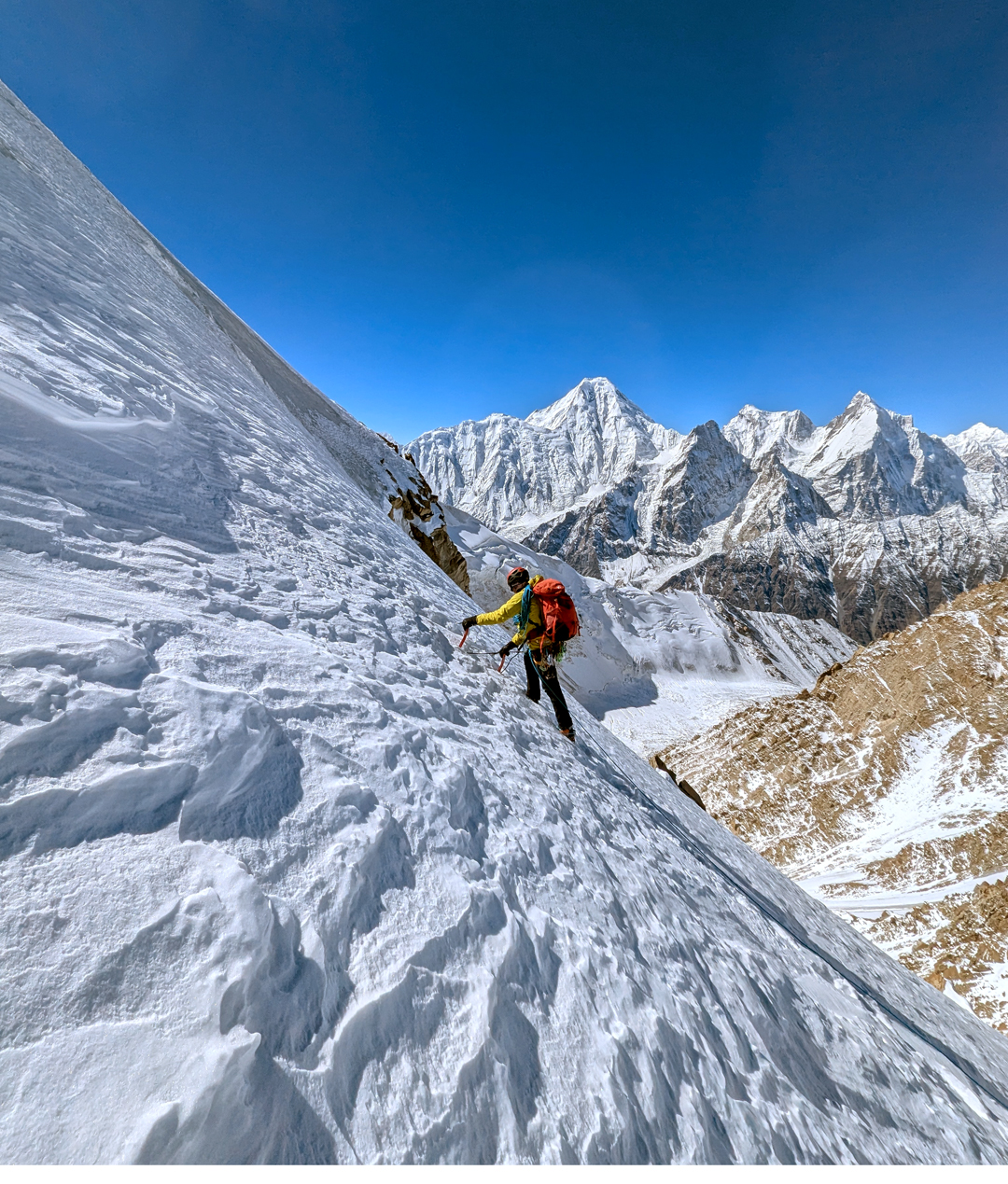
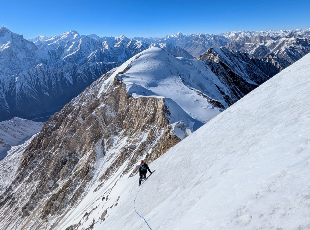
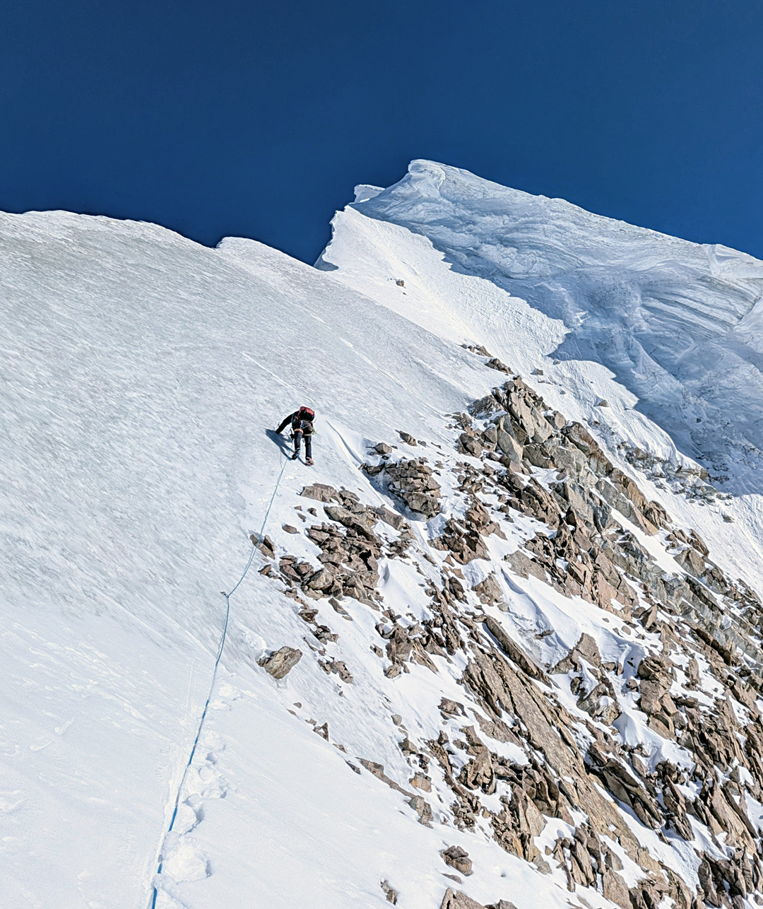
The snow in the couloir was mainly good, though sometimes rather sugary. At around 5,800 meters, as the slope became steeper and icy, we left the gully and traversed right onto mixed terrain, which provided easier progress and better protection. This section led to the northwest ridge, where we continued to the summit via several steep ice steps and a traverse across mixed ground. The final pitches included ice and mixed to 70°, a short rappel to bypass a cornice, then the ascent of a fragile snow mushroom to reach the top at 4:40 p.m.
We descended by the same route, downclimbing and making around 15 Abalakov rappels, eventually regaining high camp at 1 a.m. on October 15. We completed the ascent in a round trip of ten days from Shimshal.
Autumn conditions were cold (down to -30°C at night), but the ice was solid and rockfall was limited. We stayed mainly on the southern flank of the northwest ridge to avoid unstable snow on the north side. The climb was around D in standard, with an altitude gain of about 1,000 meters from the bergschrund to the summit.
—Gaëtan Navarrete, France
Editor's Note: The widely used Jerzy Wala (Polish) maps to the Karakoram take mountain altitudes from Soviet satellite maps. Although the latter are very good topographically, they tend to underestimate altitude, sometimes by as much as 200 meters. The Polish map quotes an altitude of 6,310 meters for Khurdopin Sar, but the Japanese (Miyamora) map has 6,477 meters, much closer to the climbers’ inReach measurement of 6,458 meters.
Media Gallery