
Spang Nala Glacier to Mantang Glacier Traverse and Various Ascents
India, Ladakh, Zanskar Range
In July, Oak Jones and I, inspired by a report in AAJ 2020, embarked upon a fascinating journey in the Zanskar Range. As I grew up in India, we sought somewhere in the Himalaya that fit our skills and style. We also wanted to connect to the culture of the place.
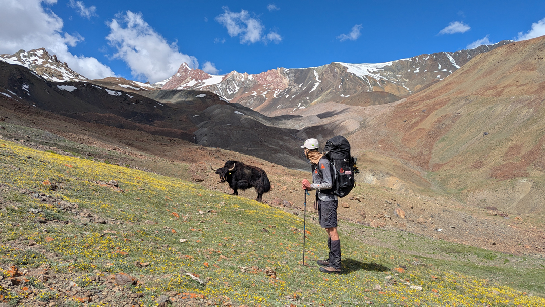
We took the road over the Sirsir La to the village of Photoksar, where we spent our first week learning more about Ladakhi culture, milking goats, and talking about the influence of tourism in the area. Then, with a local guide, Namgyal, and his donkey, we started up the Photang Tokpo. It was an easy walk, without gear to carry, and it helped with acclimatization. Namgyal pointed out pastures and edible plants and was also able to tell us the names of various peaks.
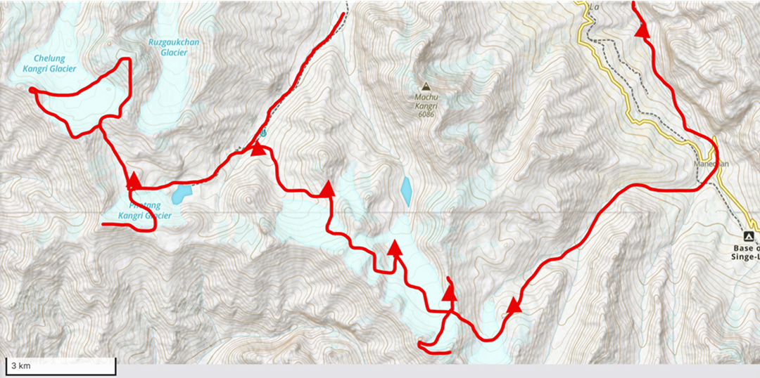
We camped for the night, after which Namgyal went home and we continued southwest for a few hours, past the red Tso Marpo (lake), to establish a base camp at just below 5,300 meters (34°0'25.51"N, 76°42'20.39"E). From there, we climbed an elegant twin-summited peak (5,615m, 33°59'48.69"N, 76°41'54.41"E) above the Photang Kangri Glacier to the south, to aid our acclimatization.
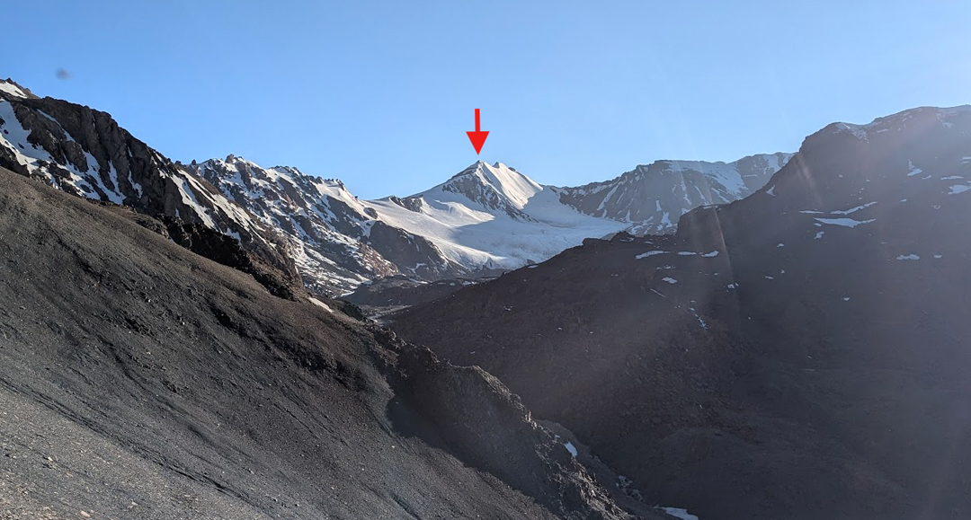
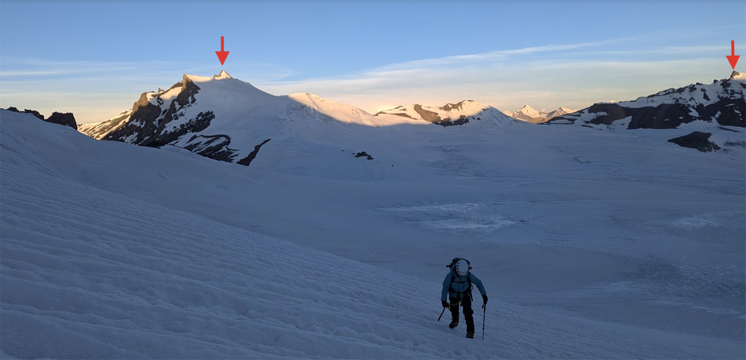
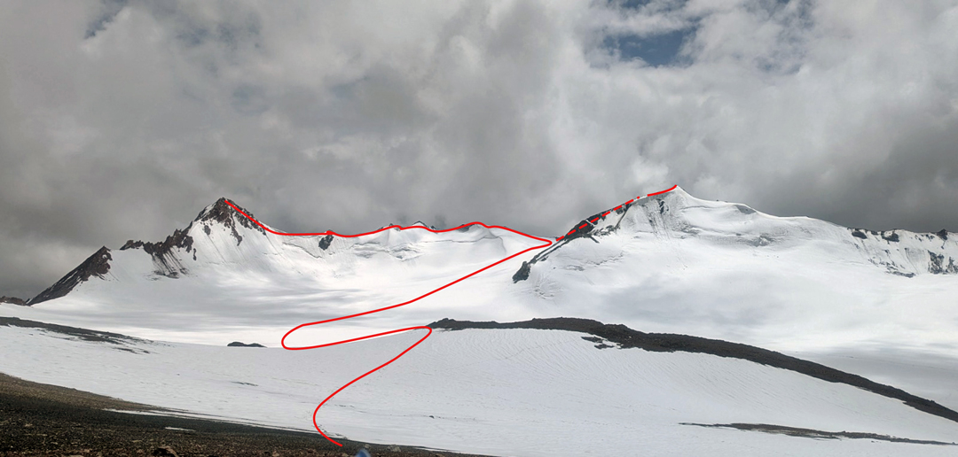
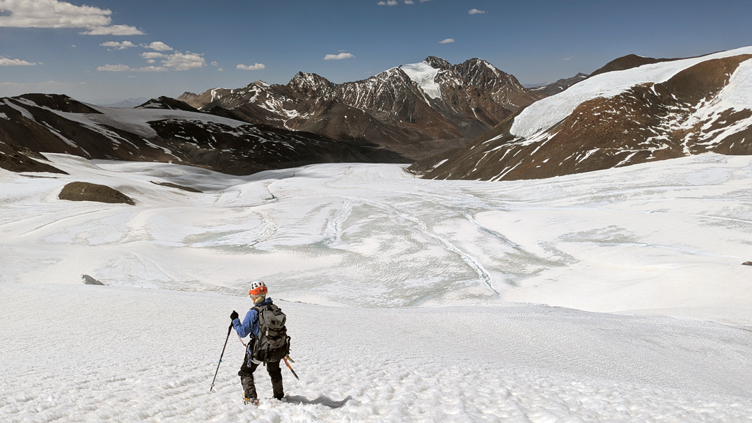
After a rest day, we embarked on our main goal, to reach the Spang Nala (a.k.a. Chelung Kangri) Glacier to the west and traverse Spang Nala Dome (5,850m), Sum Nomo Kangri (5,700m), and Spang Nala Kangri (5,750m) in a single day. First ascents of these three peaks were made by a French party, reported in AAJ 2020. We were fortunate to have beautiful weather and managed the traverse around the three peaks without going back on ourselves. Although existing reports refer to the valley descending from this cirque as Spang Nala, most locals refer to it as Spangtang Tokpo.
We returned to Photang Tokpo and then headed southeast to cross two unnamed glaciers. Our previous research had found no information about this section of the trip, and we relied heavily on satellite-generated topo maps. We arrived at a third glacier basin—which we later learned was called Mantang—one and a half days after leaving our base camp. An unexpected snowstorm stopped progress next day. Although frustrating and cold, camping on a pile of wet moraine, it was a welcome rest after several long days of walking at altitude.
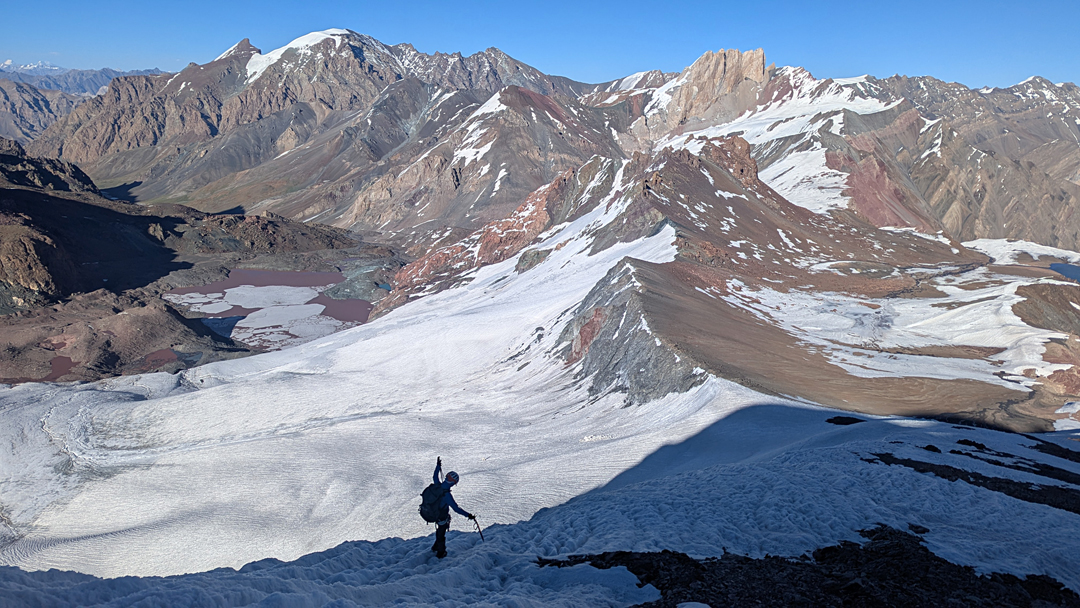
The next morning, we were able to walk through fresh snow to a high camp at 5,600 meters (approx. 33°58'40.07"N, 76°48'3.57"E) and reconnoiter a route around the peaks at the southern head of this glacier. We discovered the highest (5,770m, 33°58'7.53"N, 76°47'27.81"E) had been climbed previously, as there was a cairn on the summit. We then proceeded to travel east around the watershed ridge, enjoying snowy views on an overcast day. Our traverse crossed several minor peaks of around 5,700 meters, until we were turned back just 15 meters shy of a crumbly red-rock peak of more than 5,700 meters (33°57'58.99"N, 76°47'59.43"E) at the end of the cirque.
After the two glorious alpine traverses, we descended east to a glacier that feeds Samlas Tokpo and followed it down to the road at Manechan. Crossing the road and keeping on the true right bank of the river, we spent a delightful final day wending through the Shingila Tokpo canyon, with only 40 minutes uphill to get back to Photoksar from the river confluence with Photang Tokpo.
We were fortunate to have 24 hours in the village and were able to answer lots of questions about where we had gone from the locals who had seen us heading up-valley 10 days before. During these conversations, Photoksar residents shared their names for places that are not written on maps. It had been a delightful transalpine route that wasn’t too technical, through interesting and varied terrain. We are grateful for the financial support from the New Zealand Alpine Club and Mount Everest Foundation. [The team’s complete trip report for the Mount Everest Foundation can be downloaded here.]
—Shar Mathias, New Zealand
The climbers made a fun 11-minute video of their expedition:
Media Gallery