
Nura Valley, Climbs and Attempts
Kyrgyzstan, Pamir, Eastern Zaalaisky Range
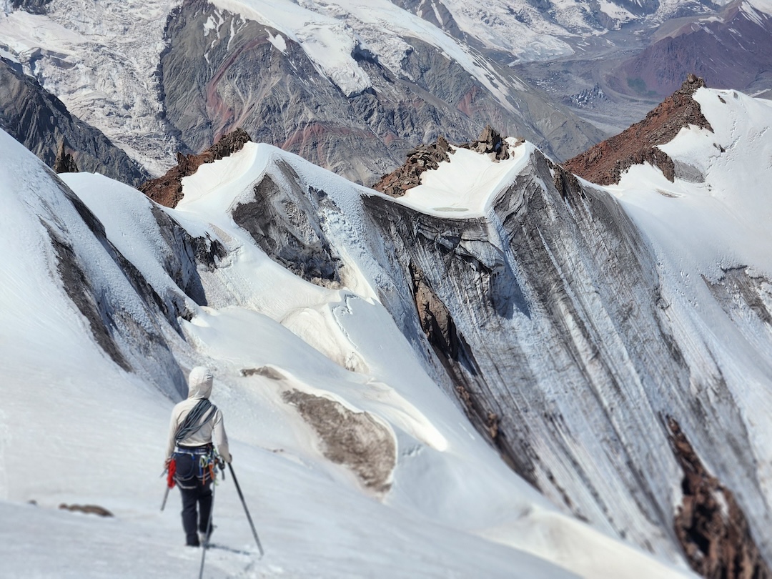
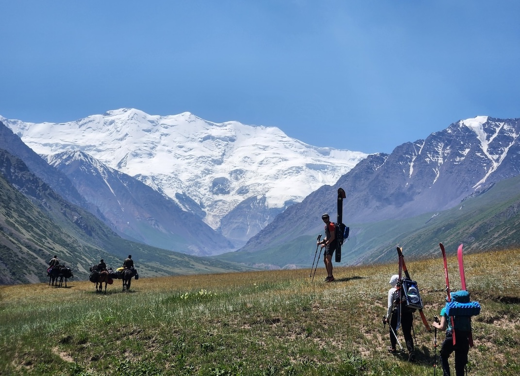
In July, Maria Koo, Lawrence Luscombe, and I from the U.K., with Orla O’Muiri from Ireland, spent four weeks in the Nura Valley, which extends south from Nura village to the border with China. With little information available on the area other than Google Earth images, the trip was exploratory, and we did not have a clear objective before getting to the valley.
Traveling via Osh and Sary Tash, we hired horses to establish a base camp (39.53757°, 73.80524°) on July 3, allowing access to peaks west and north of Leibniz Peak. [This group of mountains is about 20 kilometers to the east of Kurumdy (6,613m) and other high summits of the central Zaalaisky Range. Climbers have accessed peaks from the western arm of the Nura Glacier, but on the eastern end, only Leibniz Peak (5,797m, 39.483054°, 73.87408°) is known to have been climbed; a German expedition reached the summit on September 12, 2009, via the north shoulder (D/TD 60°).]
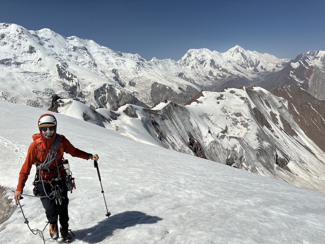
On July 5, Koo and I enchained four peaks with no previous recorded ascents that form a subrange north of the main divide: Peaks 4,570m, 4,580m, 4,650m, and 4,620m. (The first peak is at approximately 39.508892°, 73.819447°.) After ascending 1,000 meters up the northwest side of the first summit, the ridge traverse was on mixed ground with short cruxes of WI2 and easy rock. We reversed the route to descend.
We then established an advanced base camp by the glacier at 39.50169°, 73.84781°. While we were absent from this camp, two bags full of gear were stolen. The local horsemen felt that cross-border smugglers, who are known to operate in the area, were the likely culprits.
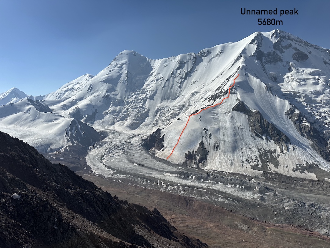
Despite this setback, we made two attempts at new routes in the area. On July 18, Koo and I attempted a 1,500-meter line on the north face of unclimbed Peak 5,680m (39.47746°, 73.84855°), due south of our camp, between Leibniz and Kypym-Top-Taz (Kurum-Tor-Tag, 5,766m).
The aesthetic line provided 900 meters of mainly 45°–50° ice climbing, but with a five-pitch crux of around 60° leading to a small plateau at approximately 5,100 meters. Above this, a 600-meter snow slope led toward the summit. However, the snow here was unstable and unsupportive, and we quickly decided to turn around.
Koo, Luscombe, and I also attempted unnamed Peak 4,780m (39.49836°, 73.87191°) on July 19 but turned around due to deteriorating weather.
This valley offers easy access to multiple big, unclimbed faces, but we would recommend teams go a little earlier to increase the chance of finding good ice and allow for exploring objectives lower in the valley, with the possibility of ski touring. [The expedition’s complete report, with maps and many photos, can be downloaded here.]
—Joe Collinson, U.K
Media Gallery