Ikamiut Fjord, Three New Routes
Greenland, West Greenland, Sukkertoppen (Maniitsoq) Ice Cap Area
Robbie Milne, a 22-year-old ski instructor from France, and I, a 26-year-old climber from England’s Lake District, touched down in the village of Maniitsoq almost exactly a year since the first time I’d been there, having arrived that time by boat for a new-routing trip (see AAJ 2025). Robbie and I flew back in June 2025 for another taste.
Our inspiration was an intimidating shadow of a peak spotted on a glacier on Google Maps, near a large glacial lake, Taserssuaq, that lies near the head of Ikamiut Fjord. Other than that shadowy blur and glimpses of peaks in the distance from our previous trip, we had three photos taken by a German couple who had trekked near Ikamiut Fjord ten years previously and a report from a 1967 British Army expedition that had done some climbing in the area. One of their routes, as John Peacock wrote in the 1968 Alpine Journal, “had the rock experts talking about it for days afterwards.” They called this formation North Dragon’s Tooth—quite possibly the same spire on which we would eventually complete two long routes.
On June 28, our friend Salik—a local trawler man and general lad about town in Maniitsoq—dropped us on the shore of Ikamiut Fjord with a promise to be there in three weeks’ time if “the wind wasn’t too bad.” We portaged 120 kilograms of food, equipment, and a canoe up the short hill to the lake, where we were without a breath of wind for the four-kilometer paddle to a base camp at the east end, an enormous stroke of luck considering the overloaded canoe and our lack of life jackets.
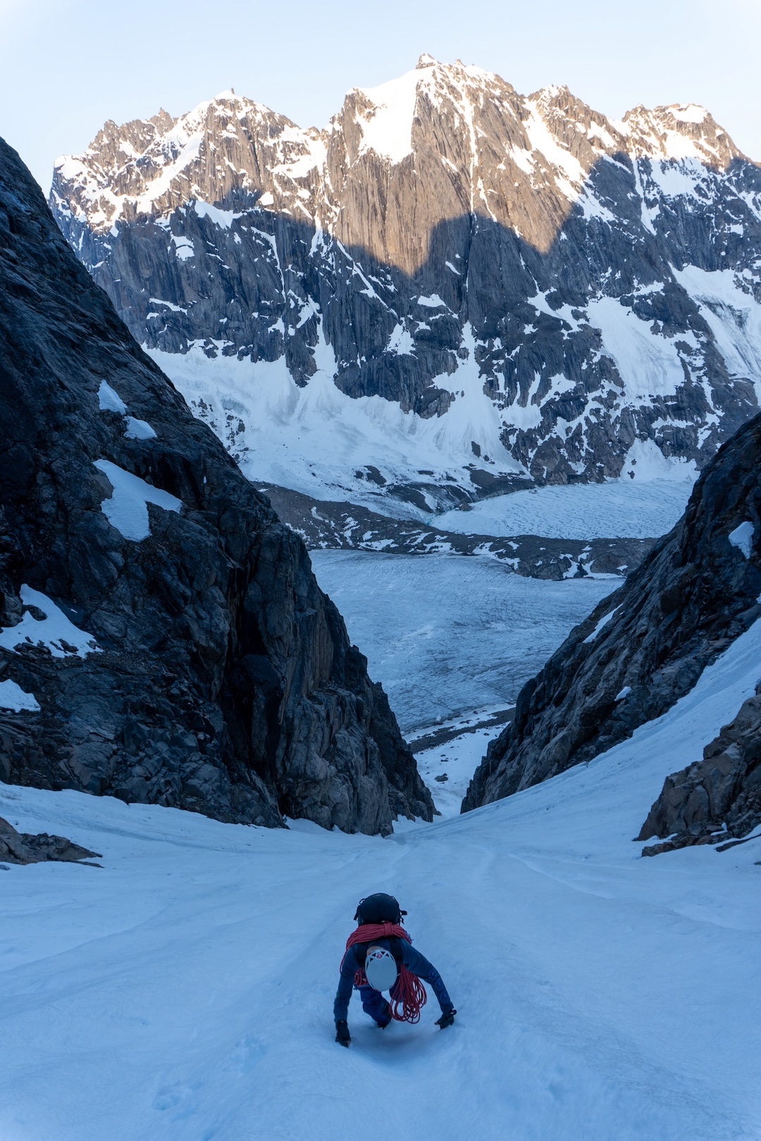
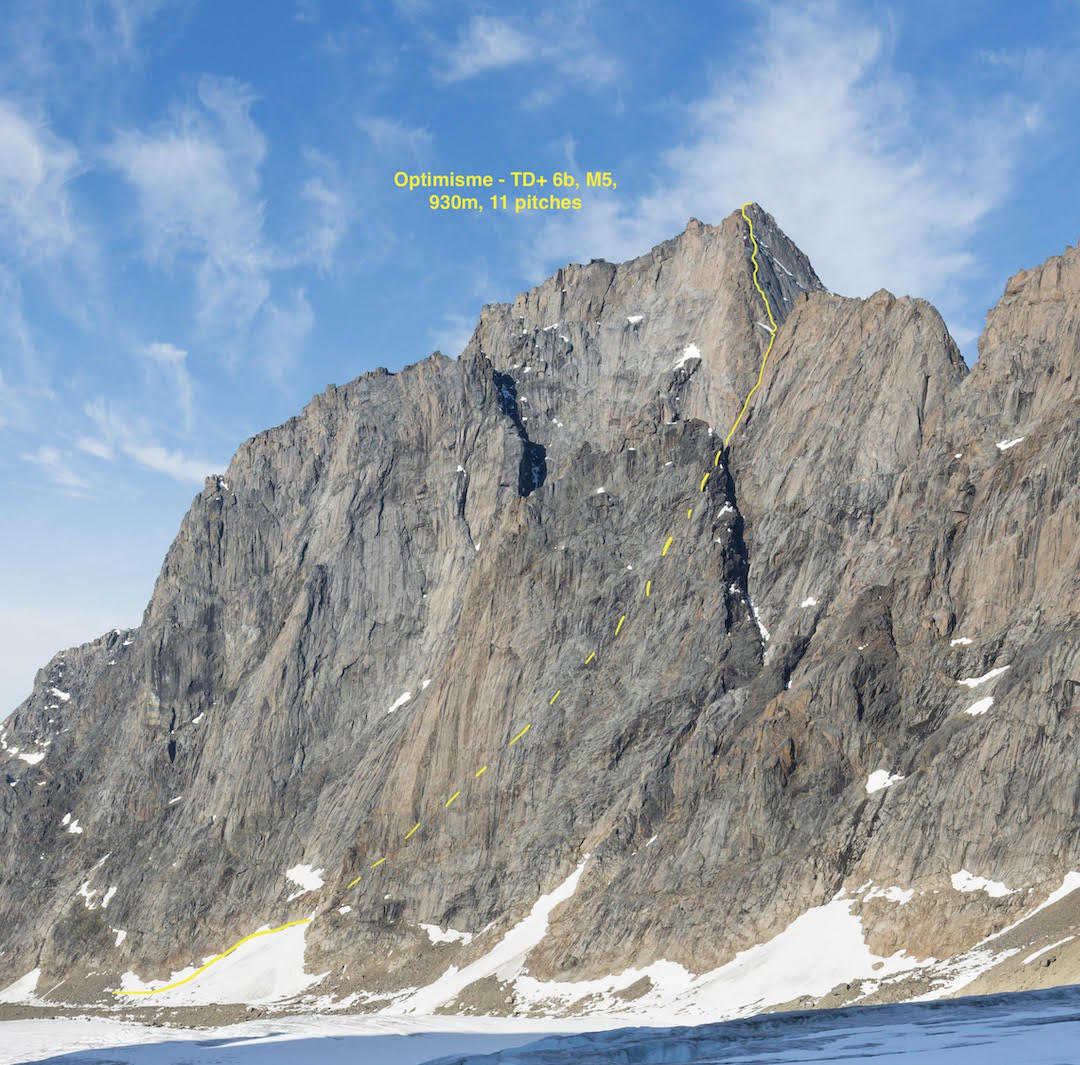
We knew from Salik’s forecast that we had another 24 hours of good weather, and we decided to head directly to the peak casting that shadow, a couple of miles up a glacial valley north of the lake, directly opposite the Three Castles formation on the south side. [Climbers have been exploring these mountains since 1958, when a Swiss-French expedition ascended several peaks, including the highest in the area. A 1978 expedition from Scotland’s University of St. Andrews climbed the huge north face of Three Castles Peak (ca 1,675m), rising straight out of the lake.] We took very little: a slimmed-down rack, one axe each, and a bit of food. We had hoped to climb the peak’s east face, but it was quickly obvious this wasn’t going to go—it looked wet, steep, and very intimidating. Thankfully, a steep, snow-filled gully capped by huge chockstones looked passable. We hoped to follow this to a col that would give onto the amenable-looking north ridge.
The air has incredible clarity in Greenland, and there are few landmarks by which you might judge size or distance. Inevitably, front-pointing up steep névé along our “quick bash to the col”—in reality, a strenuous 500 meters of gain—left us at the chockstone at midnight. I racked up for a fight, but the chockstone passed easily at about M4/5, and after a chossy final few hundred meters up the gully, we reached the col at 1:30 a.m., bathed in alpenglow.
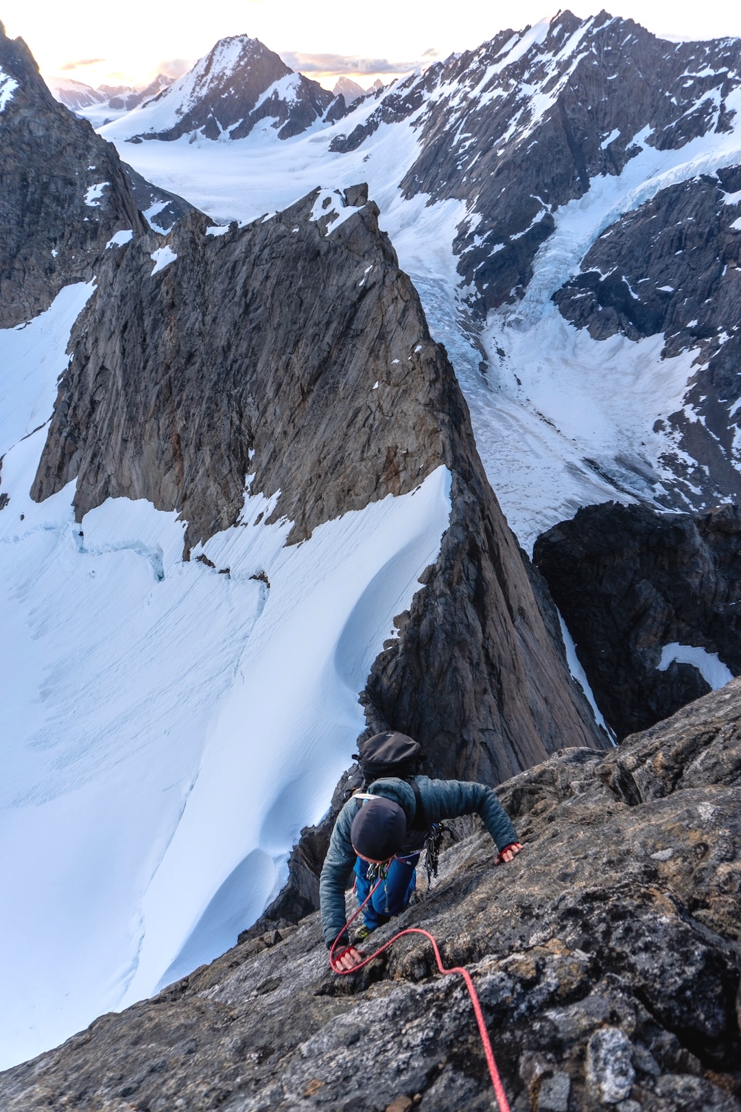
I was so exhausted that the following pitches blurred into one, and Robbie, carrying a heavy knapsack, was knackered too. The climbing was fantastic, though: ridiculous exposure and manageably dry between wet streaks, with difficulties averaging E1 or E2. We hugged a solid rock band that split the north ridge and west face.
Nine pitches later, well into our 26th hour of being awake, I could see one final mixed snow and rock pitch. After I brought Robbie up, I used some “bomber” skyhooks as protection across a blank slab, then found myself knee-deep in snow in rock shoes, wading up to the final wall. A steep crack led to the summit ledge, and we topped out at 8:52 a.m., 1,600 vertical meters and 13 hours after leaving the tents.
During hundreds of meters of abseiling, we left nothing but two nuts and some cordelette. And so was born Optimisme (930m, 11 pitches, TD+ 6b M5, 65.818010, -52.584283), on a peak we deliberately left unnamed out of deference to the locals. [This peak might have been climbed from the opposite side by an earlier expedition.]
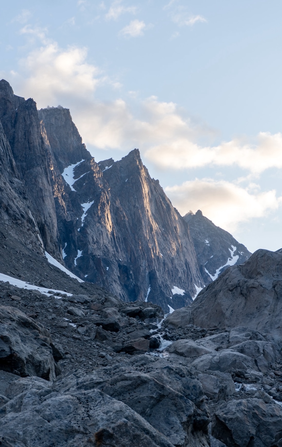
The next objective was that alluring spire (65.832862, -52.562846) at the head of the valley north of camp. Every morning, sun bathed the huge granite slabs on its east-facing flank with a golden light.
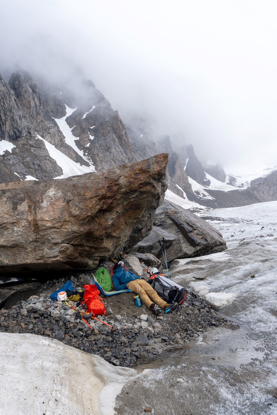
On July 1, we set up a bivy at the base, ready for an early start. The face was still shrouded in thick cloud, and it had started to rain again; it was obvious the line we had hoped to do, on the spire’s left side, would be wet. However, by 3 a.m. the clouds had lifted, and a quick binocular inspection revealed dry corners on the right side.
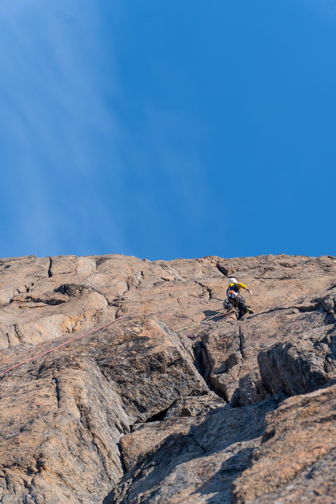
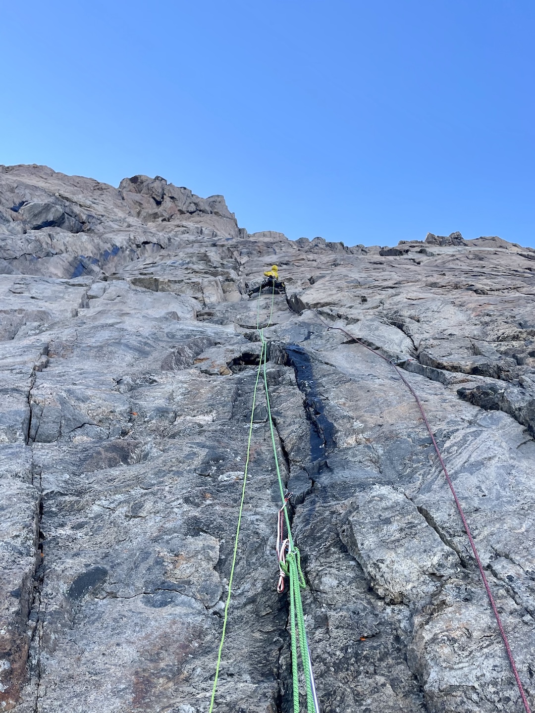
The climbing was absorbing: steep cracks and flared grooves on scrittly rock and booming flakes. A lifetime of fiddling wires into mossy cracks in the Lake District had prepared me well. While the climbing was technically not very hard (up to about French 6b), the exposure and rock quality made it feel serious.
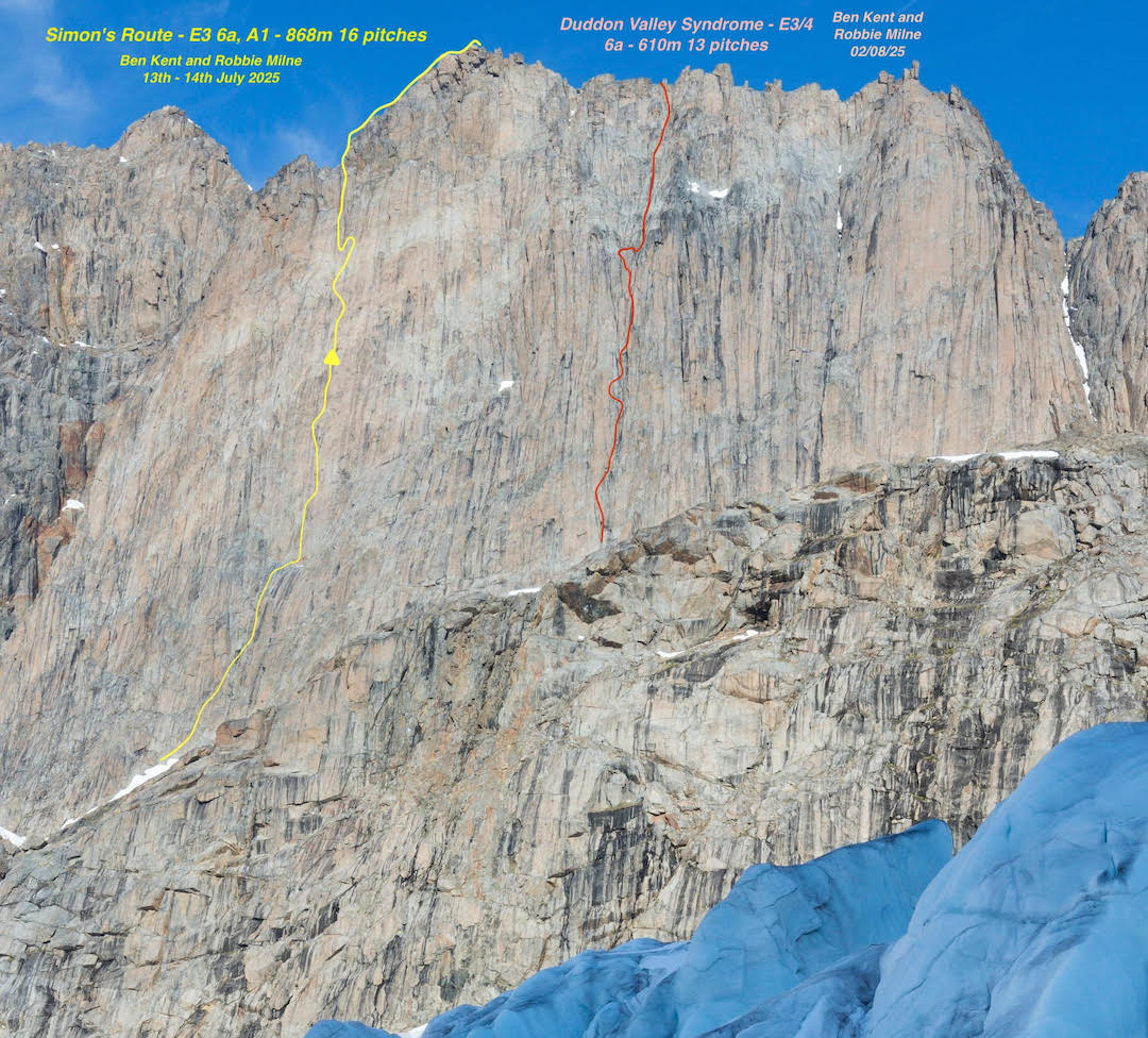
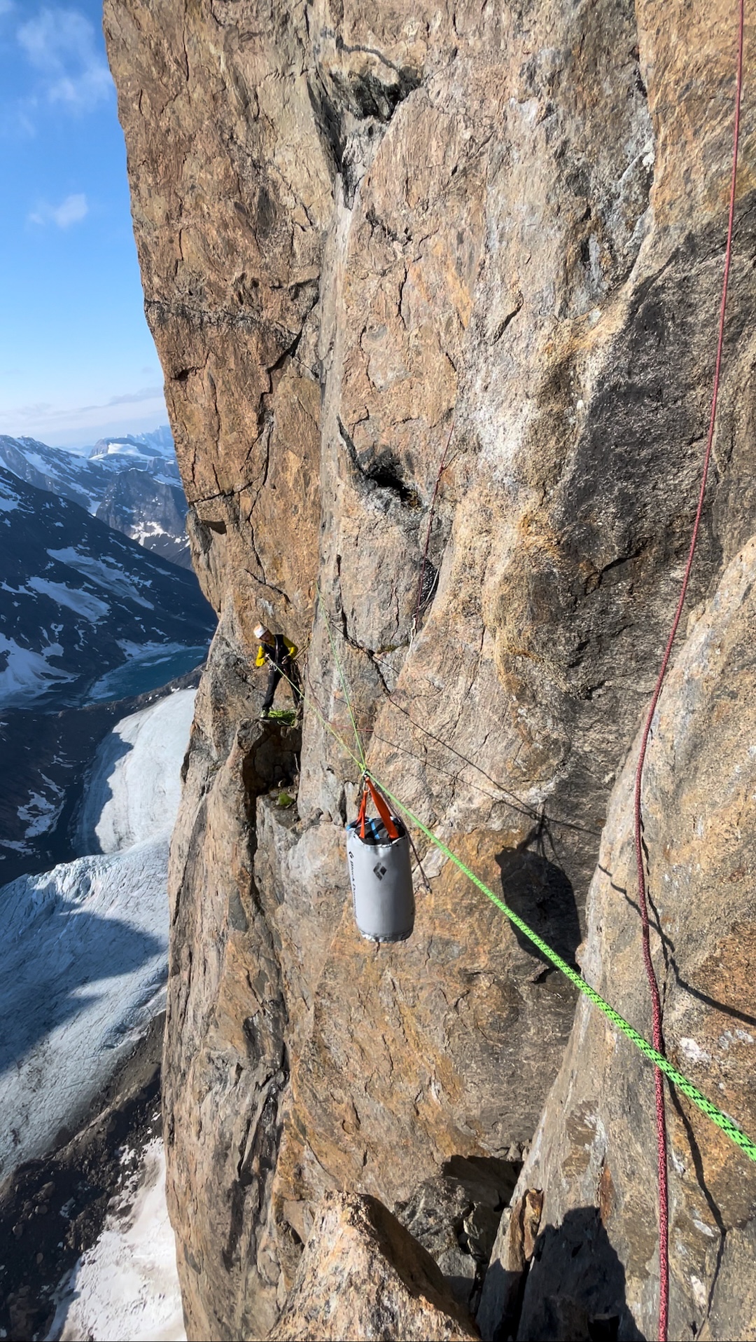
It soon dawned on us that the face was flippin’ massive—a recurring theme on this trip. Eleven tough pitches later, we lay on a ledge for some respite. While I was bringing Robbie up the previous pitch, both my arms had started to cramp so severely I’d had to tie him off and lie down—I’d been on the lead for well over 14 hours. Mercifully, after one more steep pitch, the angle eased into a huge groove. We tagged the top at 10 p.m. after passing through a friendly final headwall. We called our route Duddon Valley Syndrome (610m, 13 pitches, E3/4 6a).
The next ten days were marred by bad weather, with snow down to camp. When the storm finally abated, our canoe, which we had weighed down with rocks, was full of rainwater.
Our third new route came just 48 hours before Salik’s pickup. The left side of the spire we had climbed kept playing at the back of our minds. It would certainly be the biggest, most direct, and potentially hardest route of the trip. Plus, I had accidentally left my favorite chalk bag at the top, and I was damned if I was going to leave it there for all of eternity.
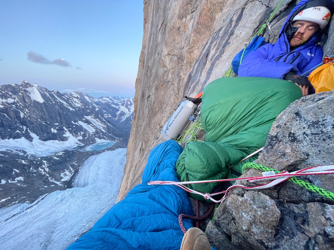
We spent the last drizzly day walking about four miles up to the base, carrying a sleeping bag each, more food, some pitons, and large cams. The next day, July 13, dawned clear. We soon found ourselves enjoying perfect rock, sustained steep pitches up to around E3, and a direct line for hauling. The route-finding was difficult, though, as the cracks frequently split into two or three potential lines. Again and again we chose correctly, and after some unlikely moves across a slab, we made it to a halfway ledge nine pitches up.
After a few hours of rest and snacking, we set off again, finding more superb climbing. One memorable pitch involved a 20-meter climb followed by a five-meter traverse and a 20-meter downclimb back to a ledge just out of reach from our starting point: a “loop pitch.”
The last pitch, sadly, did not go free—the overhanging corner crack was sopping. We topped out at a perfectly flat ledge almost exactly 24 hours after setting off: Simon’s Route (868m, 16 pitches, E3 6a A1). Another 300 to 400 meters of scrambling over a wild summit ridge, with clouds coming in and much of the wall shrouded below, brought us to the top. And there, lo and behold, was my chalk bag, given to me by my best mate Chris—full of water but still sitting proud atop the boulders.
—Ben Kent, U.K.
Media Gallery