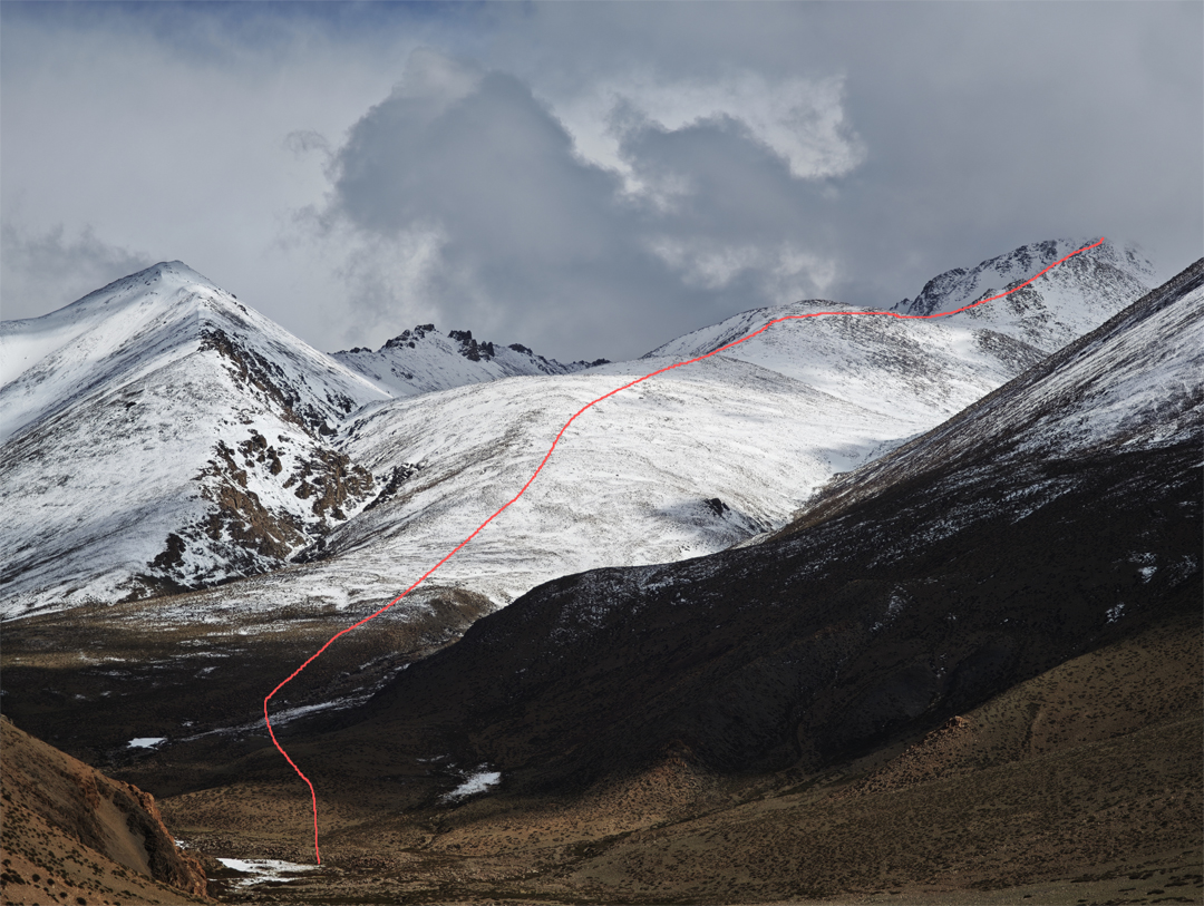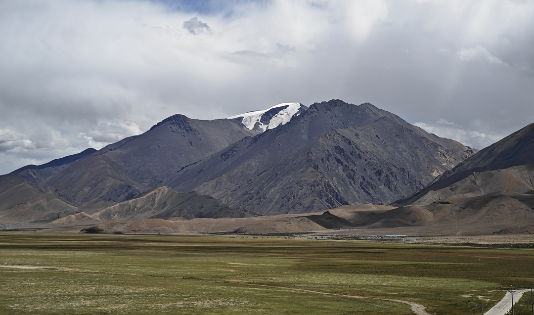

Lochari, north ridge; Rimuza, north face
China, Tibet, Gangdise Range
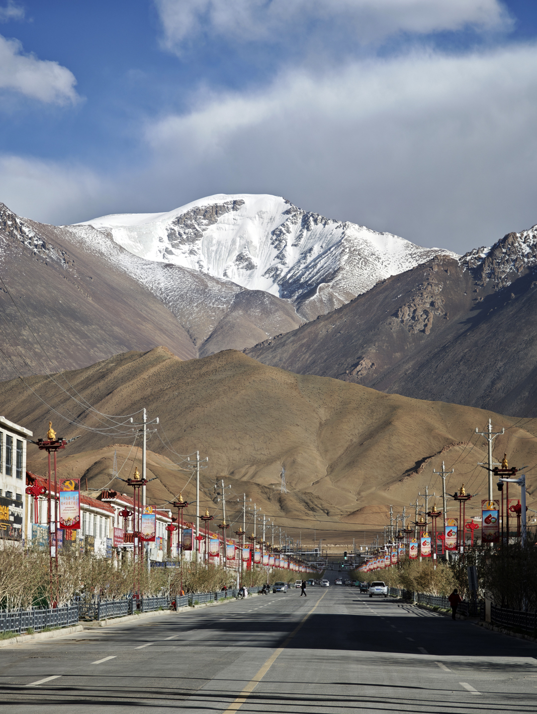
Photo by Taozhu Zhou
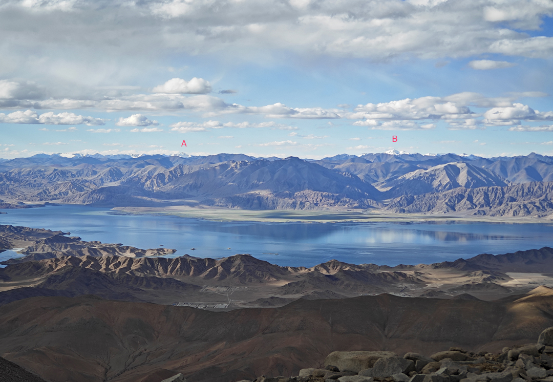
In August 2024, I made the first recorded ascent of Lochari (6,090m, 33°16’51.03”N, 79°48’11.91”E) from the north. This peak is located in the Gangdise Range in far western Tibet, close to China National Highway 219 and less than 15 kilometers southeast of Rutog town, which itself is less than 10 kilometers south of Pangong Lake, a large area of water above 4,000 meters spanning Tibet and Indian Ladakh. The peak is an east-southeasterly outlier of 6,223-meter Junmai Xuewai Kangri (a.k.a. Gyoinmaixoi'og Kangri).
In August 2024, I had planned to attempt Junmai Xuewai Kangri, which may never have been climbed, but with limited time the weather allowed only a single summit day. I chose the independent east peak, Lochari—this is my phonetic romanization of the Chinese name as it appears on Gaode map (Amap)—as a good reconnaissance for the ultra-prominent main summit. To my knowledge, there were no previous recorded ascents or summit photos of Lochari.
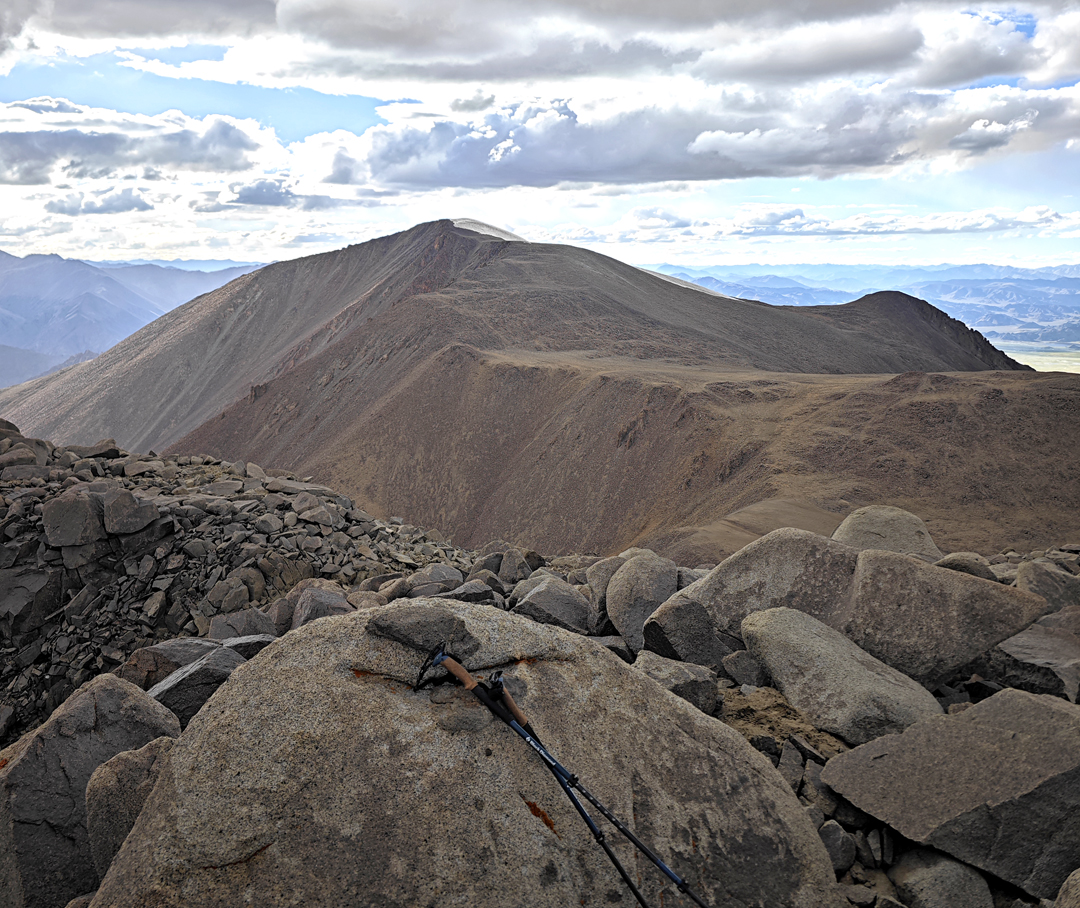
At 1 p.m. on August 23, I began my ascent at around 4,550 meters on a dirt road north of the mountain. Scree slopes took me to 5,700 meters, where I reached the broad crest of the north ridge. From there to the summit was sustained scrambling over mostly stable boulder fields. Just below the summit was a small snowfield. I reached the top in just under six hours from the car, then descended mostly by a broad gully west of the ridge, rejoining my ascent route at 5,200 meters.
The summit is a broad, rocky plateau, and the highest point had no cairns or prayer flags. However, I noticed a thin bamboo pole wedged among the rocks on a separate rocky platform, perhaps 50 to 100 meters away and about five meters lower than the highest point. Local residents said military personnel sometimes climb nearby peaks, which may explain the pole. The vertical gain had been 1,550 meters and the grade PD-.
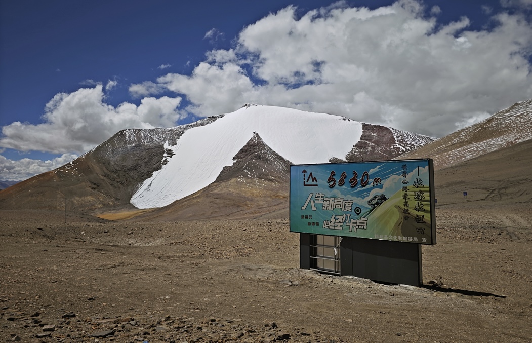
In August 2025, I climbed another peak farther east in the Gangdise Range. Rimuza (ca 6,180m, 30°7’26.56”N, 85°6’22.29”E) is the most prominent snow summit directly above the Laqiong La (5,830m), which is crossed by a poor road and is often cited as the highest motorable pass in China.
The peak appears as a striking white wing of snow and glacier above a dark scree cone and is probably one of the easiest 6,000-meter peaks in China with a prominence of more than 250 meters. There is a slightly higher snow summit to the northwest at 6,295 meters, and this was my original objective, but an earlier than expected weather window and limited time forced me to change to Rimuza.
The obvious nontechnical route is to gain the ca 5,930-meter col immediately northwest of Rimuza, then follow the broad northwest ridge. On August 6, 2025, I instead descended from Laqiong La and climbed the lower north ridge, which merged into north-facing snow slopes at about 5,950 meters. I climbed the soft but supportive snow (30°–40°) for around 200 meters. For the last ten meters—thin snow over scree—I proceeded on hands and feet. I was on the summit in a little over three hours and descended via the northwest ridge. The grade of my route was PD.
I found no visible flags or cairns on the summit, but I later learned of at least two documented ascents of the peak before mine, one in September 2024 and another in July 2025, both via the northwest ridge.
—Taozhu Zhou, China/USA
Media Gallery