
Nerutusôq Glacier and Fork Beard Glacier, Seven First Ascents
Canada, Nunavut, Baffin Island, Auyuittuq National Park
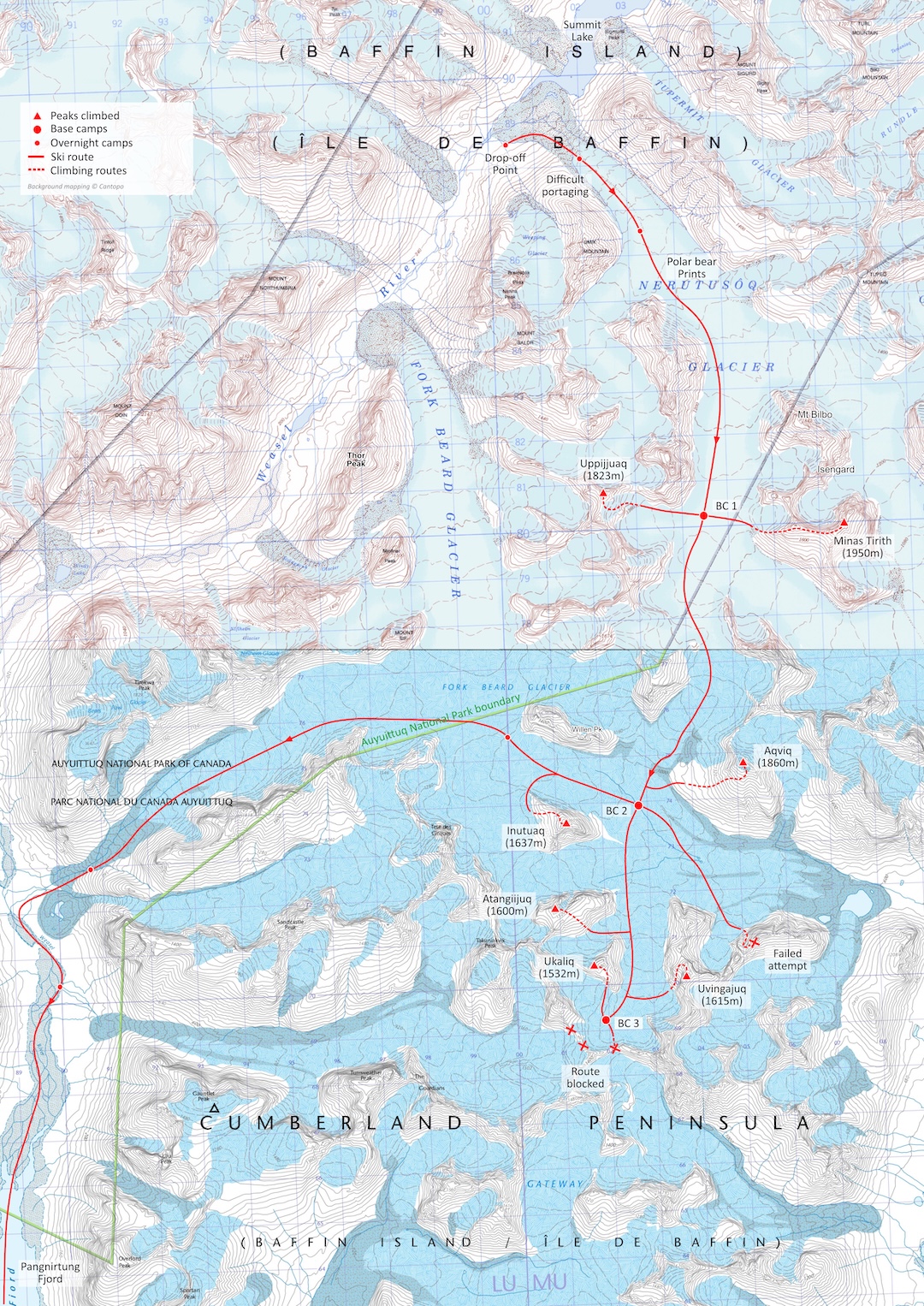
In April 2025, a four-person team made up of Leanne Dyke, James Hoyes, Ben James, and I flew into the settlement of Pangnirtung. Our hope was to use spring snow cover to ski the length of the mountains to the east of the Weasel River Valley, ascending unclimbed peaks along the way. However, on April 7, strong winds and lack of sea ice prevented us from accessing our planned snowmobile drop-off in Kingnait Fjord (the next fjord east of Pangnirtung Fjord). After this false start, we changed plans and were dropped on April 10 just below Summit Lake at the head of the Weasel River Valley.
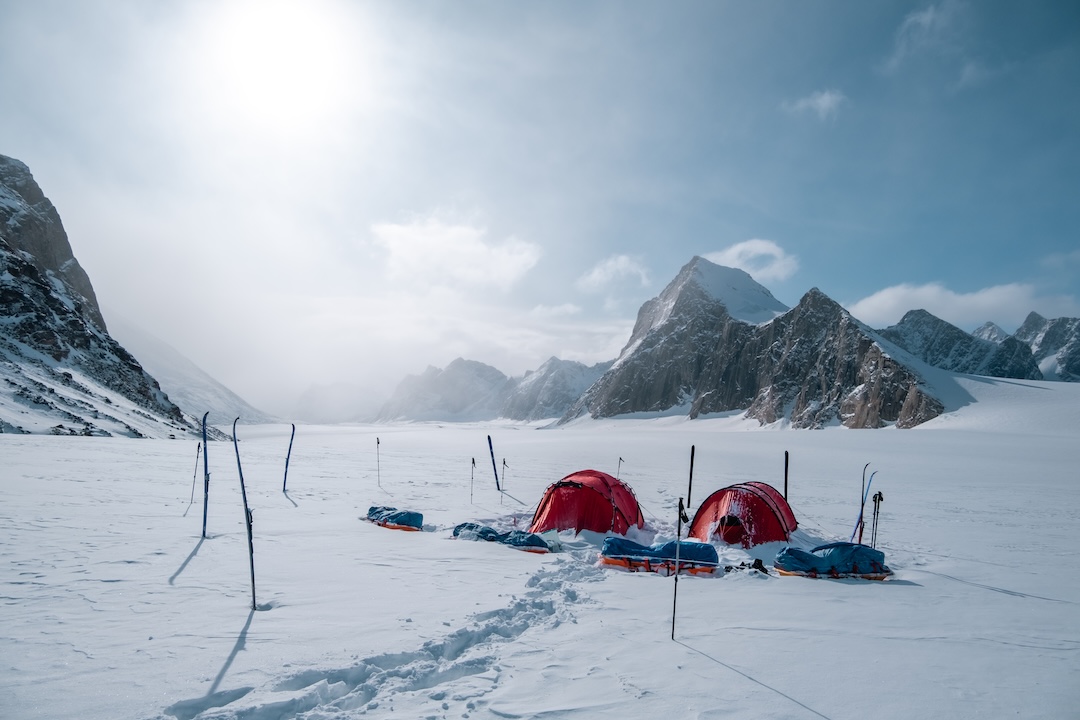
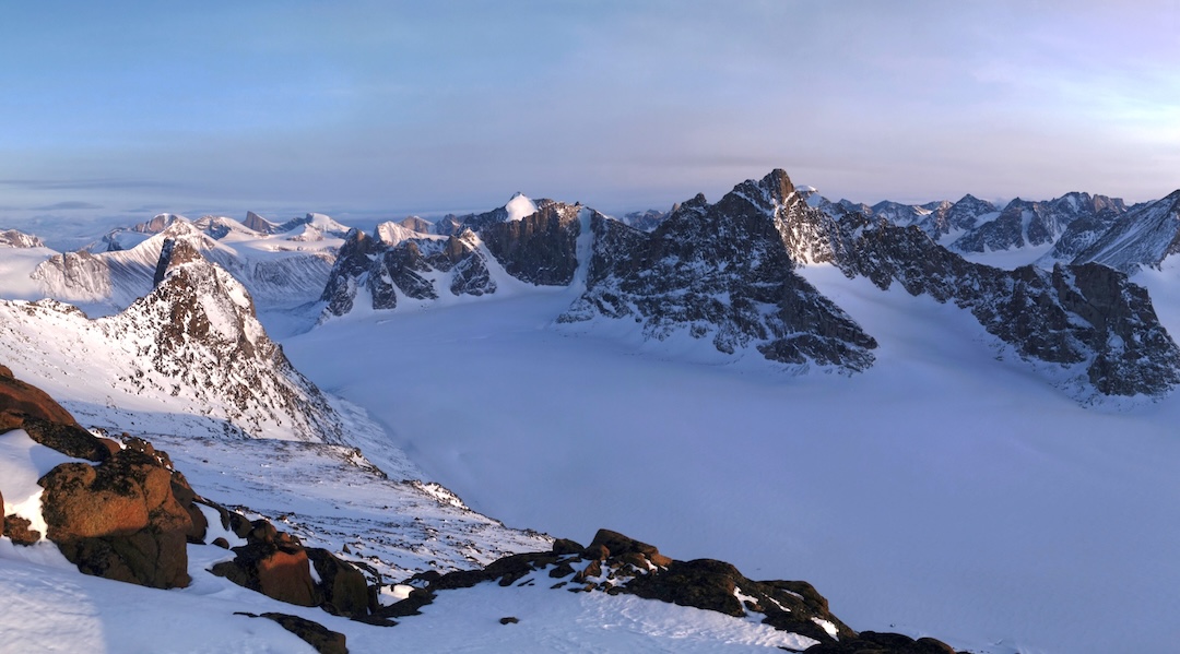
We had hoped to ski straight up onto the Nerutusôq Glacier, to the southeast of Summit Lake’s outlet, but a lack of snow meant we spent three exhausting days portaging our sleds, food, and equipment up onto the glacier. We made camp three kilometers southwest of Mt. Bilbo (1,842m).
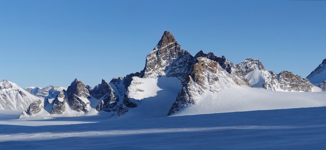
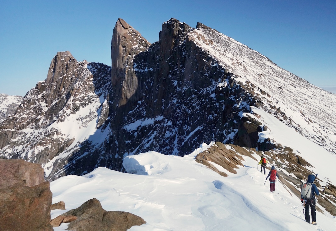
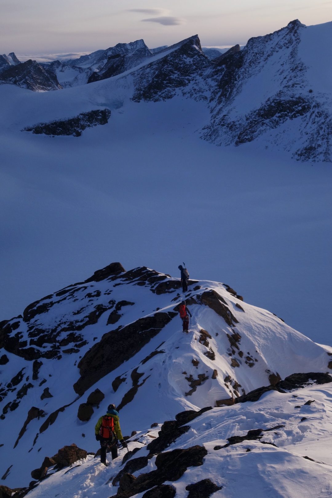
From this camp, we made two first ascents. On April 14, we climbed the east slopes to the south ridge of a 1,823-meter peak we named Uppijjuaq (66°31'50.34"N, 65°11'55.05"W). The next day, we made the first ascent of Minas Tirith (1,950m, 66°31'29.76"N, 65°4'52.95"W) via its three-kilometer west ridge (PD-), passing tricky steps and steeper granite cracks to an impressive summit tower.
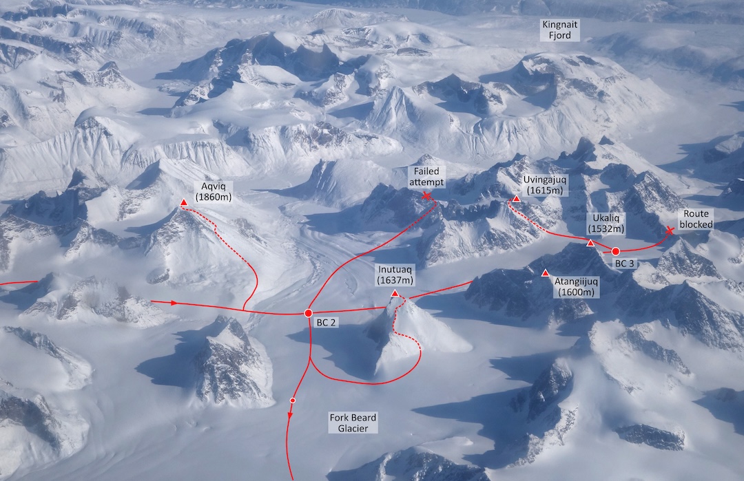
We then skied south onto the Fork Beard Glacier, making two more first ascents—the southwest rib of Aqviq (1,860m, 66°28'40.11"N, 65° 7'50.76"W) and the west face of Inutuaq (1,637m, 66°27'56.73"N, 65°13'3.67"W)—as well as a failed attempt on a third peak.
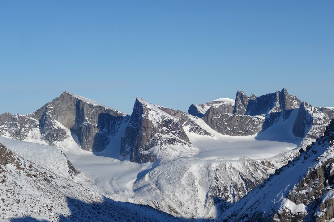
Next, we headed south on the Fork Beard Glacier, hoping to find a pass at the top of the Turnweather Glacier that would connect us to the Gateway Glaciers to the south, but after two days of searching, no feasible route was found. Fortunately, this unnamed valley had never been visited by climbers, to the best of our knowledge. We went on to make three more first ascents: the south face of Ukaliq (1,532m, 66°26'14.84"N, 65°12'13.77"W), west ridge to north ridge of Uvingajuq (1,615m, 66°26'8.93"N, 65°09'34.88"W), and the south slopes of Atangiijuq (1,600m, 66°26'54.04"N, 65°13'22.67"W).
With so many of the peaks in this area given Norse or English names, our team thought it would be nice instead to use the Inuit language to name most of the first ascents. Traditionally, the local population gives names for what the peak looks like or what they see in the local area, and we followed this method. For example, Uppijjuaq means “snowy owl,” Aqviq is “humpback whale,” and Uvingajuq means “diagonal,” after the distinctive ramp we climbed.
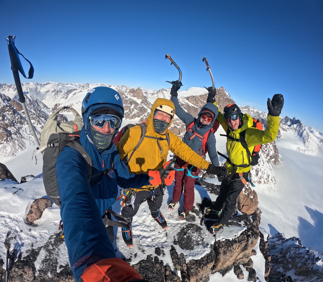
To end our trip, we skied four days to exit the mountains: first to the west via the branch of the Fork Beard Glacier flowing south of Tirokwa Peak, then south along the frozen Weasel River, and finally to the sea ice in Pangnirtung Fjord. We returned to Pangnirtung on April 30, having completed seven likely first ascents and skied around 150 kilometers. The weather was surprisingly stable, with many blue-sky days, and although temperatures at the start of the trip dropped to -30°C, it quickly warmed to a comfortable -10°C. [This mostly British team received support from the Mount Everest Foundation, and their extensive trip report can be downloaded here. They received additional grant support from the Arctic Club, British Mountaineering Council, Austrian Alpine Club, and Alpine Club (U.K.)].
—Tom Harding, United Kingdom
Media Gallery