
Gilt Peak from the South, The Cedar Room
Canada, British Columbia, Coast Mountains, Foch-Gilttoyees Provincial Park
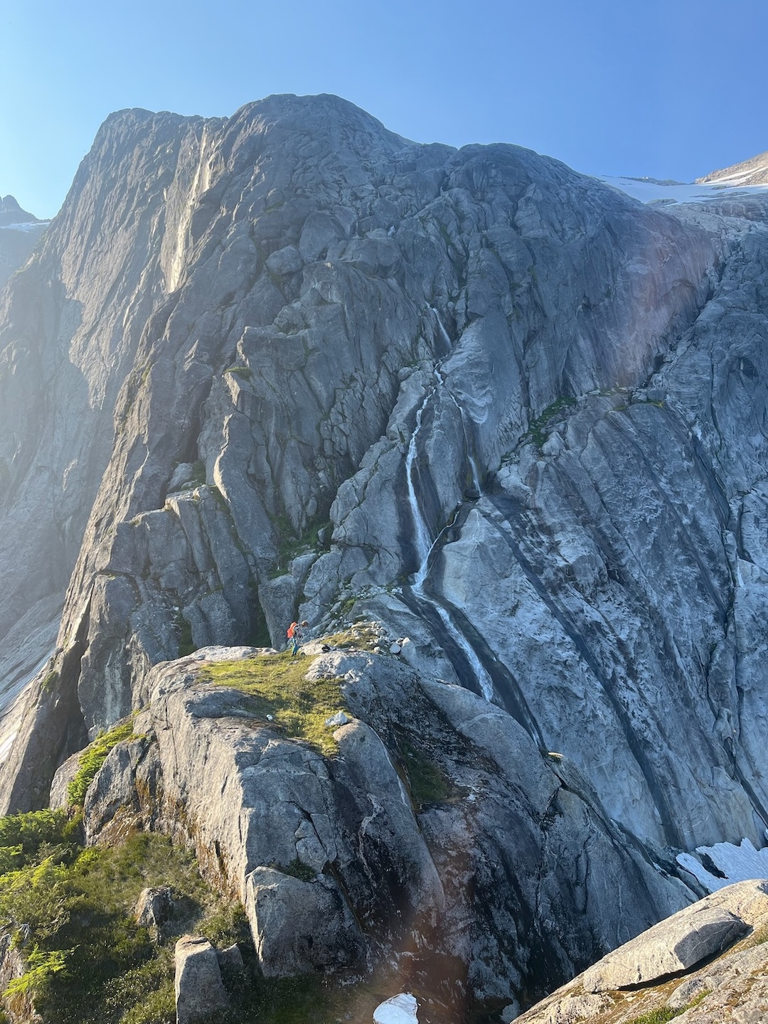
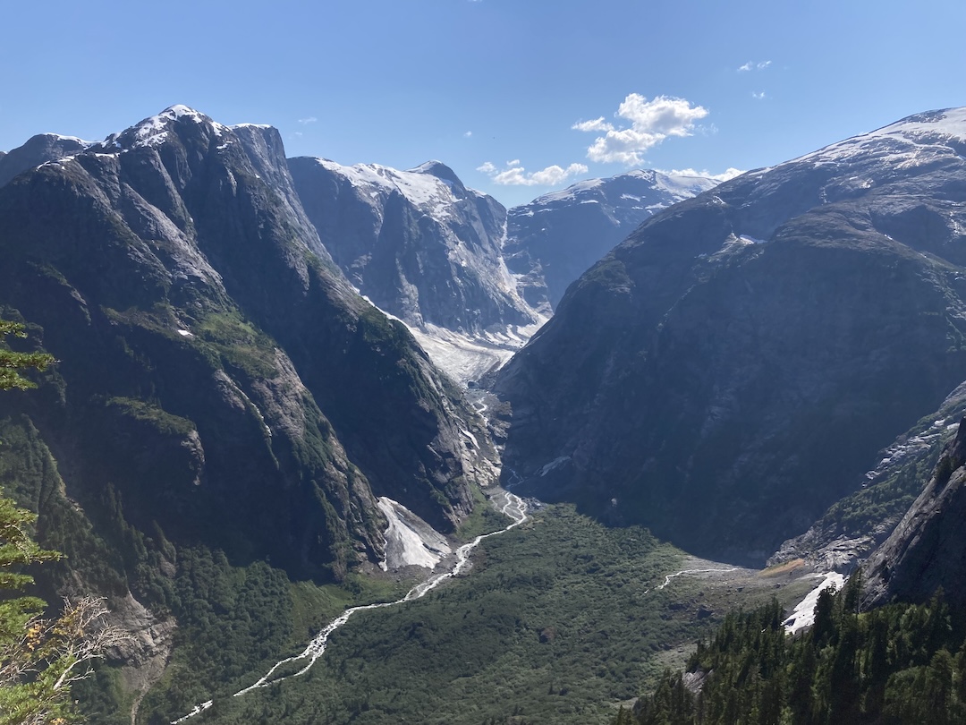
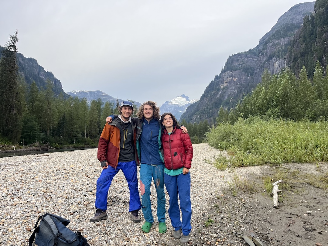
Gilt Peak (1,893m/6,211’, 53.942523, -129.222608) is deep in the Coast Mountains, within Foch-Gilttoyees Provincial Park. It’s one of the most visible mountains in the park, and one of the few that have been named. In late July 2024, Savian Czerny, Wiley Holbrooke, and I rode a chartered jet boat up the lower reaches of Gilttoyees Creek in hopes of reaching the Pangea valley on foot. (This area was previously accessed by climbers via helicopter in 2019 and 2021; see AAJ 2022.) Our goal was to establish a new route up the north face of Gilt Peak.
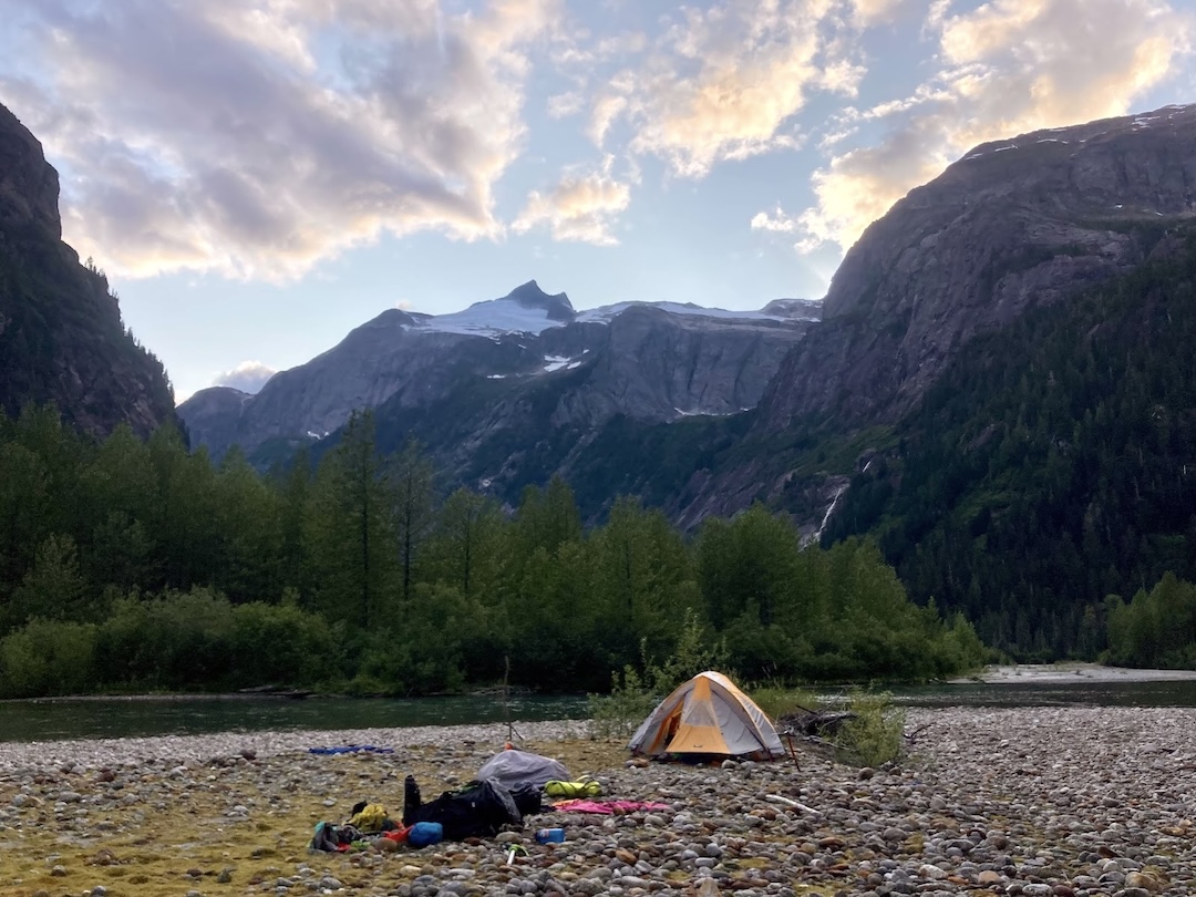
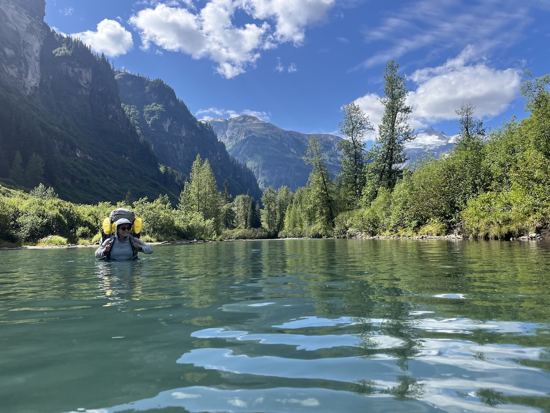
After several days (and very few miles) of brutal bushwhacking and difficult river crossings, it became clear we wouldn’t reach Pangea. We established a base camp at the confluence of Gilttoyees and a smaller creek flowing in from the west and set our sights on a more attainable objective: summiting Gilt from the south.
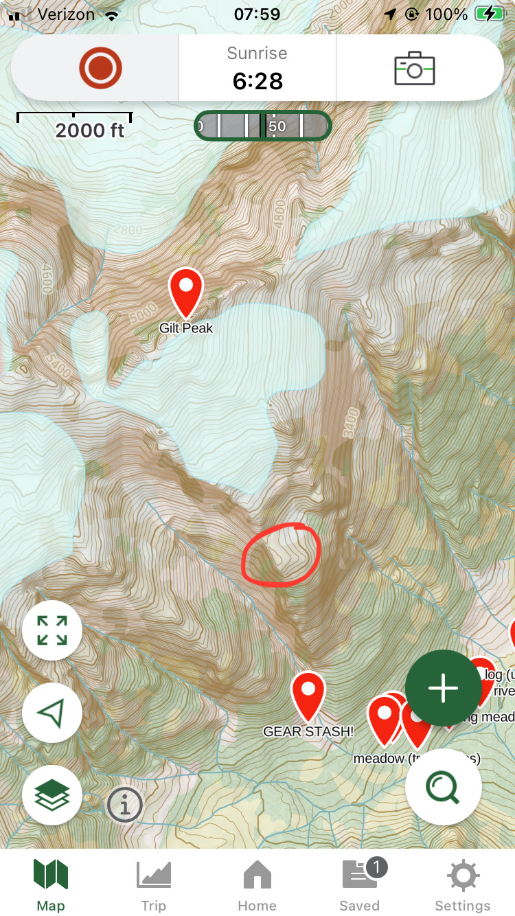
We spent over a week bushwhacking and river-walking up the unnamed tributary of the Gilttoyees, entering an area we dubbed Middle Earth. We made an intermediate camp several miles up the valley and a high camp at 1,200 feet in a gully on the south side of Gilt. On August 7, about 12 days after the start of this adventure, we began our climb.
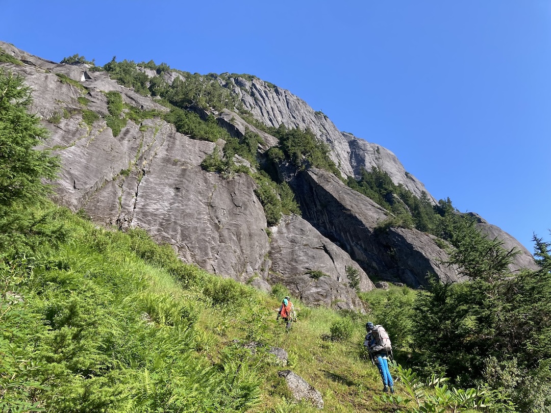
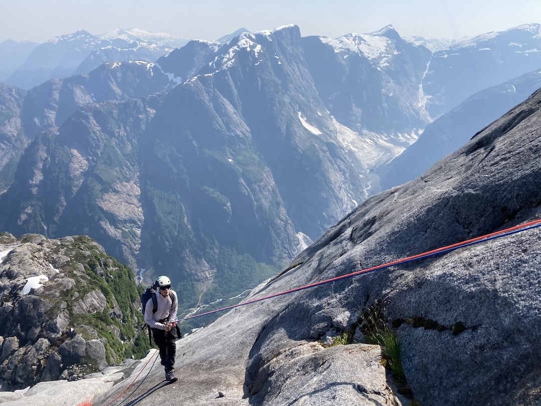
Our objective for the first day was to ascend slabs to a prominent feature we had named Frodo’s Knob (ca 4,000’), south-southeast of Gilt’s summit. This ended up being a mix of simul-climbing on quality crack systems and featured slabs along with vertical bushwhacking. The latter required hours of grunt work, crawling upward through branches with packs full of camping and climbing gear.
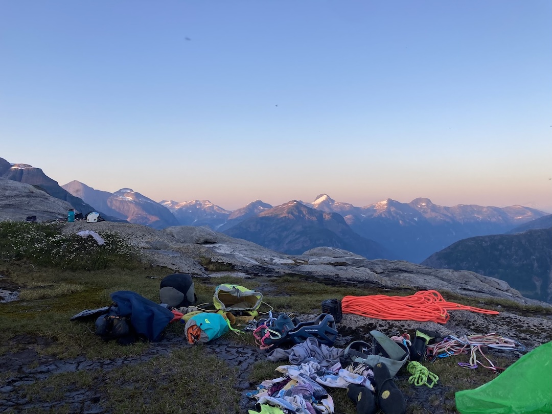
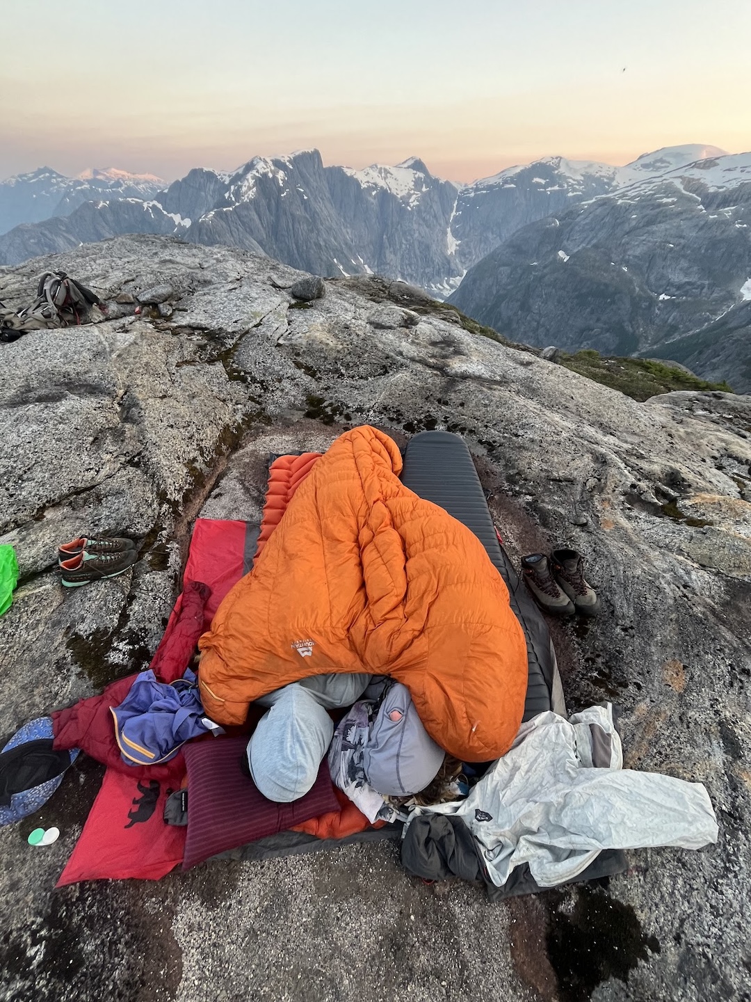
With 800 feet still left to gain the top of Frodo’s Knob, we found a miraculous water hole. After guzzling a few liters of muddy water, we continued up more bushes and eventually lower-angle heather meadows to reach the top of the knob around 8 p.m. We were greeted by stunning views of the surrounding peaks, horrifying quantities of biting gnats, and a wonderfully flat bivy spot at approximately 4,000 feet.
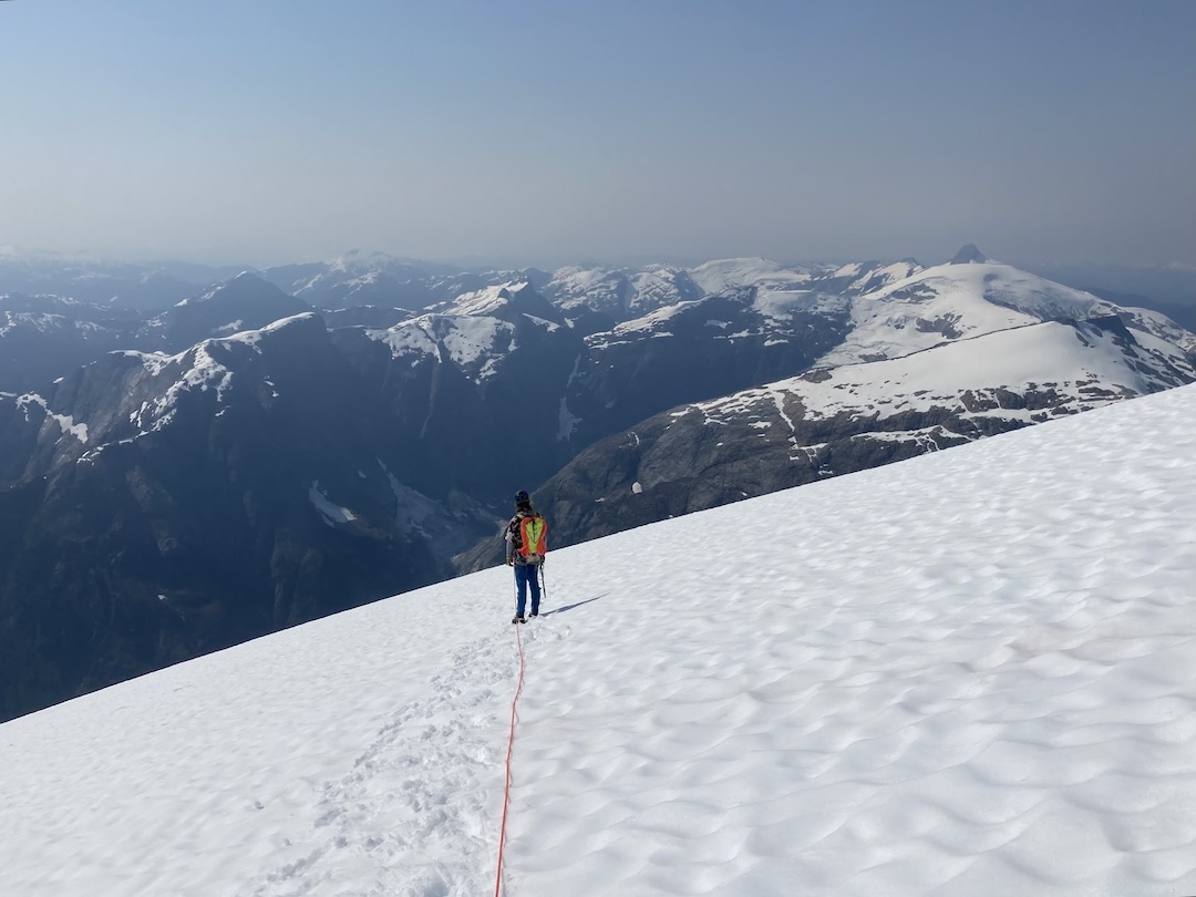
After a subpar night of sleep due to bugs and heat, we started our summit push. We simul-climbed about 300 feet on nice rock, weaving between cascading waterfalls and trying to ignore the swarming bugs. We then climbed nearly 2,000 feet up the low-angle glacier that drapes Gilt’s southeast face—the fastest mileage and elevation gain of the whole trip. A final south-facing 4th-class section brought us to the summit.
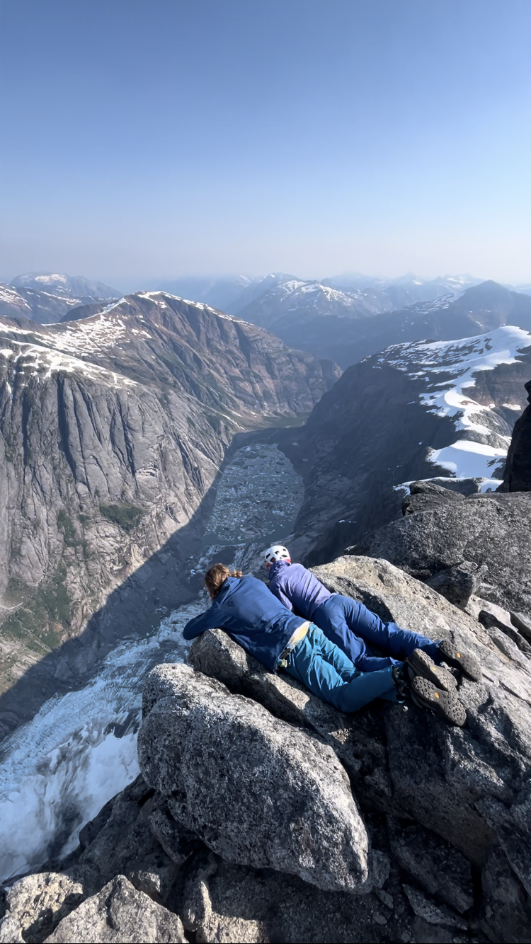
The views from the top were dizzying—rows of glaciated peaks spread in every direction, with the sheer north face of Gilt plummeting thousands of feet below us into the Pangea valley. We spent two hours on top taking it all in before beginning our descent, doing some excellent glissading and finishing with three rappels to our bivy on the knob.
After another terrible night of “sleep,” somehow hotter and buggier than the previous one, we descended the steeper wall east of the slabs in seven clean rappels. Back down at our intermediate camp, we finally got some good sleep. We spent the remaining days in the area appreciating the spawning salmon, aurora borealis, and abundant huckleberries before making our way back to Gilttoyees Creek, where our jet boat captain picked us up. We named our route The Cedar Room (5,000’, 5.9).
—Anna Feldman, USA
Media Gallery