Dip Top Peak, South Face
Washington, Cascade Range, Alpine Lakes Wilderness
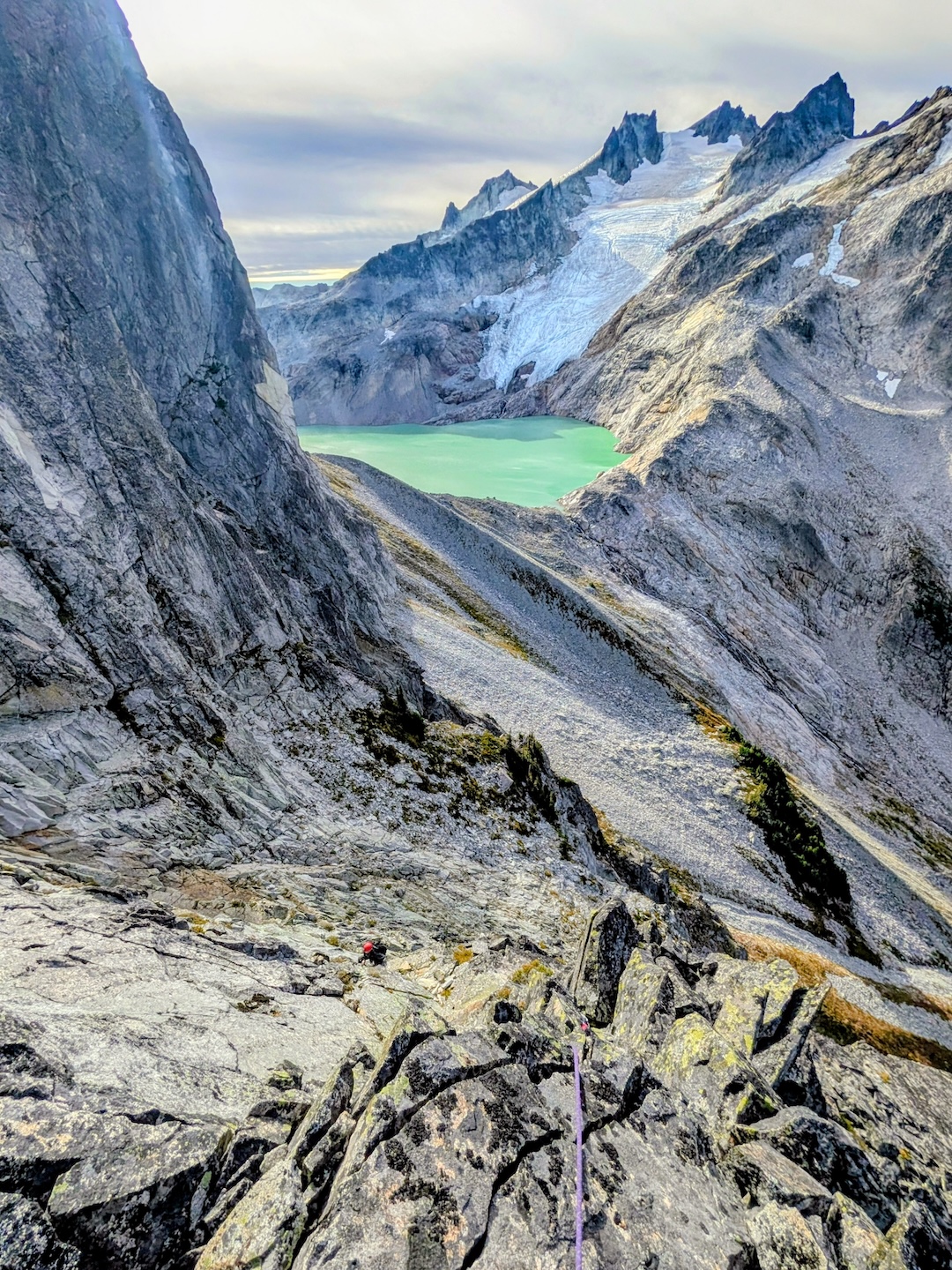
Dip Top Peak (7,291’, 47.58292, -121.18279), situated on the rugged crest between the Deception Creek and Foss River drainages (north of the turreted Mt. Daniel, south of the Insta-famous Jade Lake), presents a complex southern aspect that has long escaped the attention of alpinists. On September 27, Rolf Larson and I approached this unclimbed face via the Tonga Ridge–Deception Creek cutoff, a classic Cascadian exercise in brush-bashing and tricky navigation.
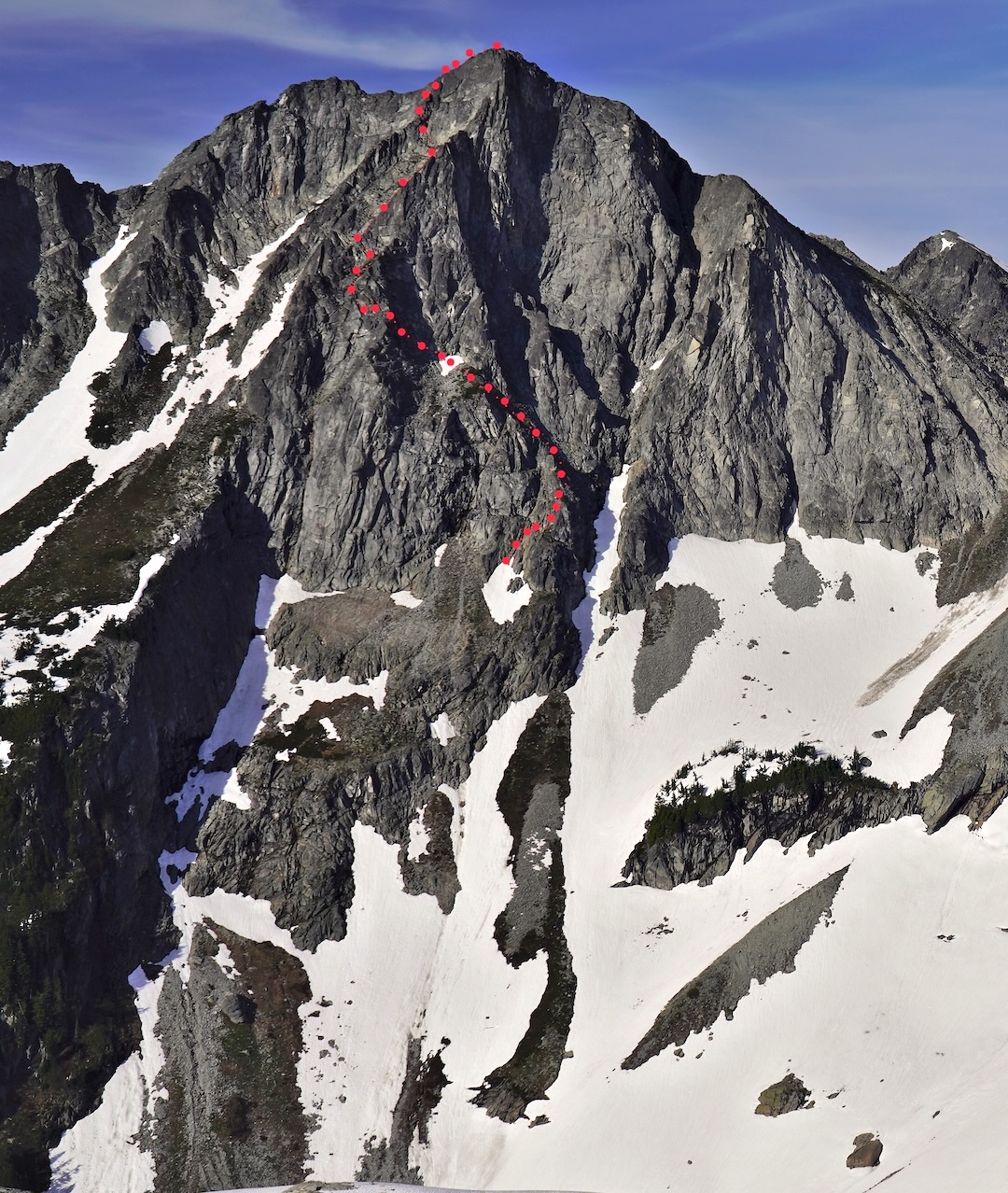
The 1,200-foot south face is characterized by a series of prominent ribs and recessed, discontinuous crack systems. We began with several hundred feet of unroped climbing (up to class 5) to gain the primary face. The route then unfolded over six roped pitches of varying quality. The technical and mental crux occurred on the final, short headwall pitch, where Rolf led a series of sporty moves on excellent rock to gain the ridge, just shy of the summit.
The South Face/Rib Route (III 5.8) provides a rewarding line for those who appreciate the austere beauty and uncertainty of the Cascades’ more remote faces.
—Eric Wehrly
Media Gallery