

Southeast Boisum Glacier Area, Various Ascents
Pakistan, Karakoram, Ghujerab Mountains
The lead-up to our planned trip to India had been a test of bureaucratic nerves, ultimately ending with it falling through at late notice. With little time, we managed to throw together a new itinerary in Pakistan, and on August 27, Arran Turton-Phillips and I landed in Islamabad.
The reformulated plan was to visit the Virjerab Glacier, several days’ trek southeast from Shimshal. On our arrival in the village, however, the general feedback was that the glacier would be very difficult for porters. By our second morning in Shimshal, we had found only two willing porters out of the
required 15. It was evident we would need to change plans to somewhere accessible with donkeys.
We opted for the north side of the Boisum (a.k.a. Boisam or Boesam) Pass, where I knew there remained several unclimbed peaks. In a matter of hours, the donkeys were loaded and we were on our way. The trek over the pass to our base camp at Perchudwashk (4,580m) took two days.
 On the evening of September 3, we bivouacked in a strip of moraine on the Southeast Boisum Glacier, close to where it divides into southwest and east branches. The following morning, we used a one-day weather window to attempt Peak 5,810m (36°32’23”N, 75°23’20”E), first ascending the glacier’s southwest branch, with a plan to gain the col west-southwest of the summit via its northwest slopes. However, a short way up these slopes, we decided there was too much avalanche risk.
We promptly switched to the east ridge of Pir Sar (5,683m, 36°32’03.1”N, 75°21’56.5”E), but insufficient acclimatization, together with the payback for our detour up the slopes of Peak 5,810m, caught up with us at 5,625m, and we retreated to base camp.
On the evening of the 7th, we were back at the same bivouac. Early next morning, we ascended the eastern branch of the Southeast Boisum Glacier and climbed to the col at its head, from which we made an impromptu ascent of the short south ridge of Peak 5,625m (36°33’01.2”N, 75°24’01.6”E) at PD. While erecting our tent on the col, we lost a pole down the mountainside, but after some experimentation, we concluded the remaining pole would suffice, given the fine weather.
On the 9th, we started up the north buttress of Peak 5,880m (36°32’28.6”N, 75°23’59.6”E) from the col. Low on the route, we were startled by a thunderous boom that coincided with me striking an axe into the mountainside. Some excited discussion followed, and it became apparent that a section of serac had fallen off near Arran. Cracks were also visible in the surrounding névé, suggesting this was no place to linger. As we continued, we negotiated several serac barriers interlinked with snow slopes; the seracs’ arrangement limited the objective danger, since any potential debris would be funneled down the faces on either side of us.
From the top of the buttress, we continued up the northeast ridge for a final rope length to the corniced summit. We downclimbed the same route. We suggest the name Boe Sar Southeast, since Peak 5,880m lies at the head of the Southeast Boisum Glacier. [Boe Sar was the name given to the first peak northeast of Boisum Pass, climbed in 2005 by Abdullah Bai and Francois Carrel.] We graded the route D-, partly for the less than straightforward descent.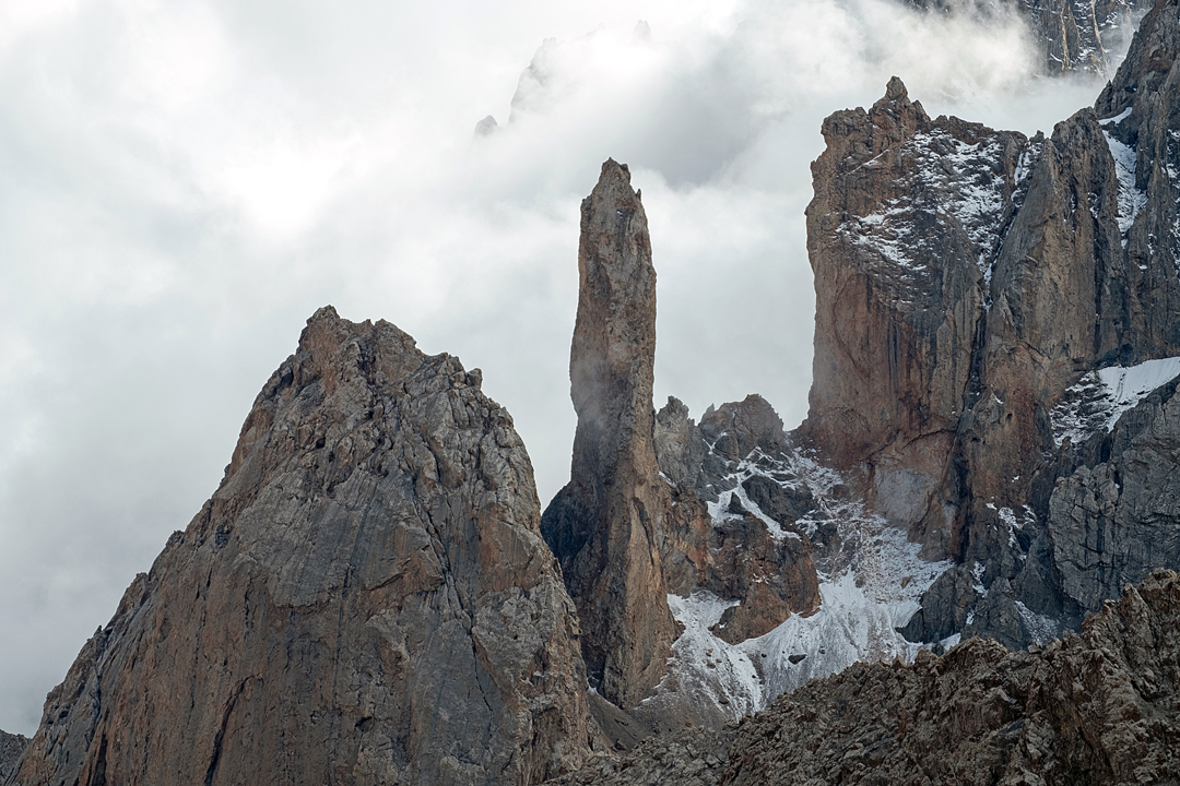
On the 14th, we bivouacked on the Boisum right ice flow. Next day, we climbed a new route on Koh-e-Brobar (a.k.a. Barabar Sar, 5,907m map height, 36°34’09.9”N, 75°24’11.5”E), via the prominent central couloir on the southwest face. The couloir involved easy snow slopes in the lower half, increasing higher to a maximum of 50°. A short distance below the summit, we joined the south-southeast ridge and traversed beneath its corniced crest to the top (5,958m GPS, 850m of ascent, AD). Descent was via the same route.
Fine weather had prevailed for most of the trip, and then, on the 18th, we made a timely departure from base camp amid new snow and an unsettled outlook.
— Lee Harrison, Norway
Media Gallery


