Pik Agamau, North Face and Northeast Ridge; Pik Buffy, Location Correction
Tajikistan, Pamir, Muzkol Range

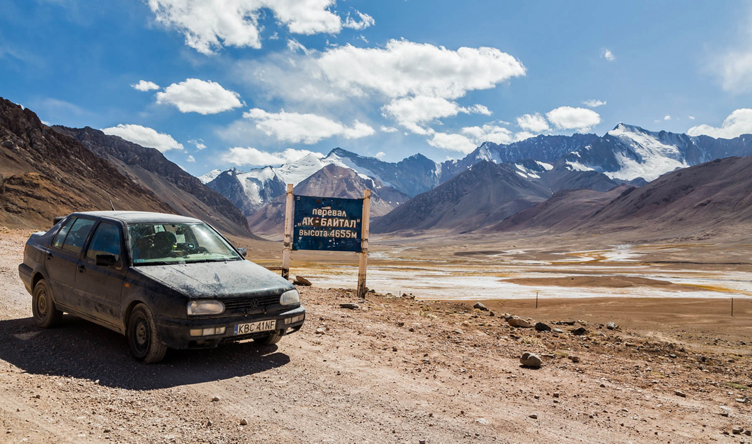
In 2017, from the vicinity of Ak Baital Pass on the Pamir Highway, I photographed a peak at 38°32’12.0”N, 73°28’28.5”E with an altitude of 5,553m, according to the Soviet military map. Lying west of the Ak Baital Valley in the southeast part of the North Muzkol Range, this area has been very rarely visited by climbers. I studied all available literature, including that in Russian, and also corresponded with Vladimir Birukov, a noted explorer and cartographer, one of the main authors of the military maps to the Pamir. Being not too high, it seemed almost certain Pik 5,553m had never been climbed.
The peak lies on the watershed ridge between the Ak Baital and Zartosh (a.k.a. Muzkol) valleys, north of the peaks of Ak Baital visited by a British expedition in 2015. In 2014, Rhys Huws and John Vincent from a different British expedition to the Zartosh Valley climbed a summit on this ridge that they named Pik Buffy and ascribed a height of 5,553m, taken from the Soviet map (AAJ 2015).
However, after detailed comparison of all available information, I realized that the British team had mistaken the location of their peak. In fact, Pik Buffy lies about 3km south of Pik 5,553m at 38°30’38.2”N, 73°28’55.2”E, and is marked as 5,537m on the Soviet military map.
 On August 24, 2019, Jerzy Kędra and I entered Tajikistan by car, having driven from Poland. Time was tight for climbing; the immigration authorities only gave us a 15-day permit for temporary import of the car. On the 31st we parked near a shepherd’s hut in the lower Ak Baital Valley and then walked west alongside an unnamed stream to find a suitable base camp and reconnoiter the peak. This excursion showed a direct ascent of the north face had crevasses and seracs; a broad couloir on the left side of the face, steeper but safer, seemed a better alternative. We descended to the shepherd’s hut for a rest.
On September 2 we walked back up to the glacier and set up “base camp” on the moraine. We took no tent, only mattresses and sleeping bags. We rested and acclimatized on the 3rd, and on the 4th woke at 4 a.m. and started to climb the ice couloir at 8 a.m. The ice was hard and the first few pitches up to 60°. It then became easier (40°) until we reached a large crevasse that slanted up right across the face. We simul-climbed below this and at 6 p.m. arrived on the upper northeast ridge. This was not as easy as expected (40–50° with short steps of 60–80°). After a 70–80° ice chimney, we arrived on the summit at 8:20 p.m. There was no trace of previous passage, and the south face was snow-free loose rock. We retraced our steps and bivouacked 50m below the top. With no sleeping bags or mattresses, it was a really cold and windy night.
Next morning we started down. Because we had underestimated the difficulties, we had brought only one 60m rope, so it was quicker to downclimb than to rappel. (The latter we did only on the steepest pitches.) At 5 p.m. we reached our base camp and the following day descended to the car.
We called the mountain Pik Agamau—it is supposed to sound like a local name, though in fact it is the combination of the shortened names of our wives. The route was about 650m in height and had around 1,100m of climbing. The grade was D or Russian 3A/3B.
– Juda Tadeusz Dzięgielewski, Poland
Media Gallery