

Ice Couloirs Above Bishop
California, Eastern Sierra

OVER TWO SEASONS, in the winter and fall of 2018, several partners and I did first ascents of three ice couloirs in the eastern Sierra.
The Central Tower of Pine (11,670’) is but a minor bump along the sinuous north ridge of unnamed Peak 12,388’, visible to the southwest in the Tungstar Bowl above the head of Pine Creek Canyon. Joel Kauffman and I made the three-hour trudge to the base of the buttress on January 5, intent on climbing the steep cleft on the left side of the north face.
The approach started easily enough on the dry, drought-stricken Pine Creek Pass Trail. After leaving the trail at the Brownstone Mine, our pace slowed dramatically as we struggled through unconsolidated powder snow, falling into the large boulders lurking beneath. It had been nearly two months since the last significant winter storm. As the angle steepened we were fortunate to find a firm, supportable crust on the snow. A few hundred feet of moderate snow climbing, with some short mixed steps, gave way to the narrows—a deep goulotte averaging only 10’ wide and comprised of loose, shattered granite.
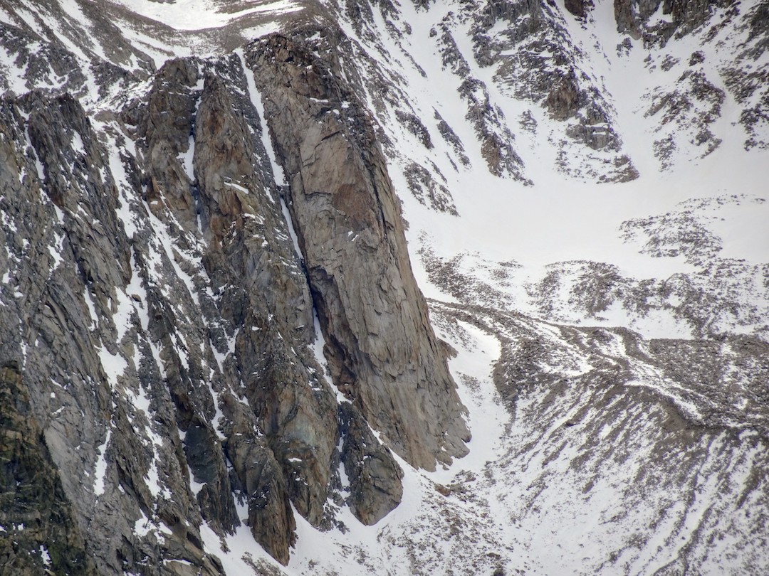
We fixed a piton at a somewhat protected belay stance, and loose rock rained down around me while Joel delicately danced up the crux M4+ R pitch. A steep snow ramp followed on the next pitch, and then an intimidating house-size chockstone appeared to block passage above. With the low snow level, we were able to worm beneath, behind, then over and around the improbable congestion (M3/4). The angle lessened above and we simul-climbed the long exit gully to the summit. Our route, the North Couloir (1,200’, III AI2 M3 R), is only the second known route on the buttress. An unreported rock route, Up the Creek (III 5.10R ?), is rumored to have been climbed by Brian Ketron and Mike Melkonian in the late 1990s or early 2000s.
On November 8, Tad McCrea, Chad Cochran and I approached the north face of Mt. Emerson (13,210’) from a rugged dirt road in the Bishop Bowl. Approximately a half-mile northwest of the Clyde Couloir on Emerson lies a steeper line that leads to a deep notch between the lower, western summit of Emerson and an unnamed subpeak (Peak 12,880’+) along its west-northwest ridge.

The three of us team-soloed the first 700’ of 60˚ névé and alpine ice to reach a constriction high in the couloir where the old remnant glacier dies out. A narrow runnel of water ice continued above for a full rope length to the notch. From there we headed right up the knife-edge south ridge of Peak 12,900’ (4th class) for an additional 300’. There was no register, cairn, or any sign of passage on this prominent subsummit. We continued northward along the ridge to reach an easy descent gully back into the Birch Creek drainage. While there is no record of this couloir being climbed as an ice route, we acknowledge that it may have been descended by some extreme skier due to its visibility from town and closeness to other popular backcountry ski descents. We tentatively named our line the Camel Tail Couloir (1,200’, III AI3 4th class).

On November 12, I hiked up the trail from North Lake to climb an icy, inverted Y-shaped couloir that I had spotted from the top of Emerson the week before. This couloir is approximately a half-mile northwest of the popular North Couloir of Mt. Lamarck (13,417’) but is completely hidden from view from any hiking trail. After taking a tumble in the endless glacial moraine above Upper Lamarck Lake and breaking my nose, I staggered up the remainder of the approach and switched into boots and crampons. The left fork of the couloir featured perfect frontpointing up 55˚ Styrofoam and alpine ice for 800’, which led to a notch in the long ridgeline between the Keyhole Plateau and Peak 13,464’. I chose to follow the ridge south toward Peak 13,464’, finding some 4th- and easy 5th-class rock scrambling along the way, to reach the familiar and easy descent down from Lamarck Col. The name of the new climb seemed obvious, given its shape and proximity to the lake of the same name below—the Wishbone Couloir (800’, III AI2+ easy 5th).
– Richard Shore
Media Gallery


