

Veronique and Anna: The Six Brothers
Kyrgyzstan, Trans Alai
In August and September 2014, I visited Kyrgyzstan, a country that is mostly covered in mountains, with the Russian climber and guide Nikolay Totmyanin. Our destination was the east part of the Trans Alai chain and a little-explored, north-south valley, the Kichkesuu (also spelled Kichkesu), that ends along the Tajikistan border. I found information about only two previous expeditions to this valley—a British team in 2004 and a Swedish trip in 2012—though evidence of prior ascents was found during the 2004 trip.
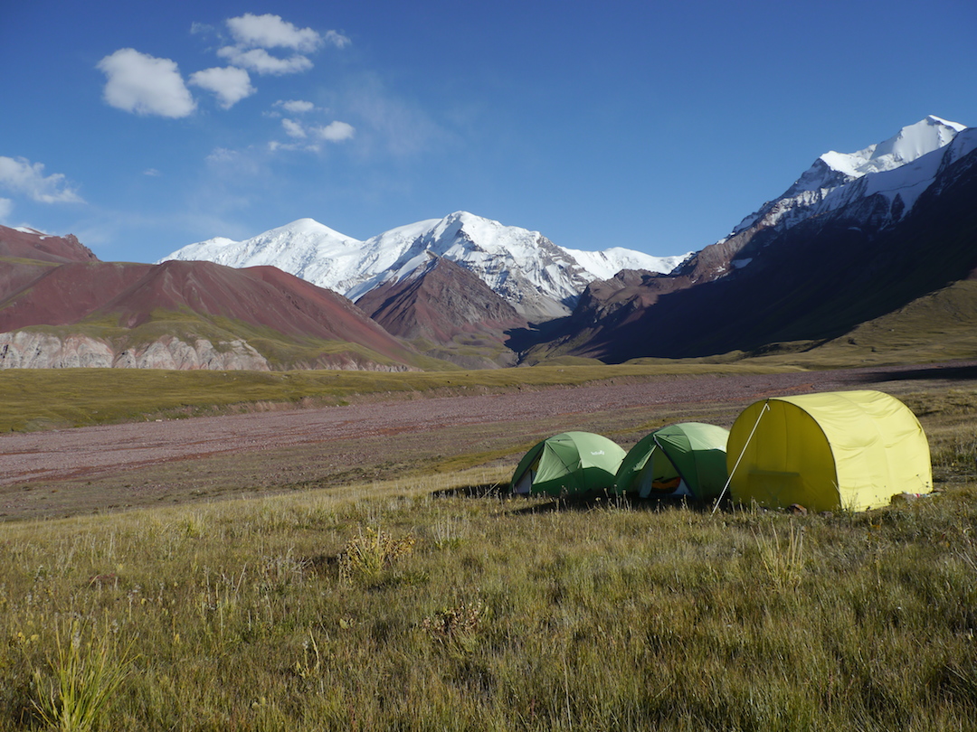
We met at Osh on August 26, and drove 200km south to the huge east-west valley that passes along the north side of the Trans Alai chain. We had difficulty finding a way to enter the valley, especially with bad visibility in stormy weather. But finally we found a way, and after a long and uncertain drive we were reassured to recognize the Kichkesuu valley and to see that we could approach it by vehicle. We put our base camp just before the Kichkesuu River, a few kilometers from the entrance of the valley (39°32.074'N, 073°22.754'E, 3,550m).
On August 30 we attempted an unclimbed summit (approximate location: 39°28'53.04"N, 73°26'27.07"E Google Earth), estimated at 5,300m to 5,400m, by a long ridge in two sections. Starting from a high camp at 4,330m, northwest of the peak, we climbed slowly with Nikolay breaking trail through deep snow. Nine hours after our departure from high camp, we arrived at a col at about 5,000m, and given the snow conditions and the hour we decided to not continue. Moreover, I was really tired—maybe I was not acclimatized enough, and I had lost 25 percent of a lung to cancer just two years earlier. It’s my second expedition after this surgery (the first was in 2013 in the Cordillera Quimsa Cruz of Bolivia), and I was really happy to be here after all this.
On the 3rd of September, we returned to the valley and hiked toward its end with heavy bags. It took over six hours on the moraine to reach the site of a high camp at 4,350m, from which we would attempt an unclimbed summit to the southwest. The next day we approached the base of our mountain, climbed a 300m face, and reached a ridge that we followed west with mixed sections. The last part was delicate. We reached the summit, a little rock platform (39°27.853'N, 73°23.544'E, 5,200m), and in the Russian tradition Nikolay left a piece of paper with our information in a plastic bag under some stones. In the absence of a known ascent, I proposed to Nikolay to name the summit Veronique and Anna, after my wife and Nikolay’s wife, and to dedicate the route to my six boys by naming it the Six Brothers, with a grade of D–. As a storm arrived, we descended along our ascent route for two-thirds of the way, and then finished the descent along an east-facing snow couloir amid wind gusts and snowfall.
Henry Bizot, France
Media Gallery


