

Various ascents and ski descents
Antarctica, Antarctic Peninsula
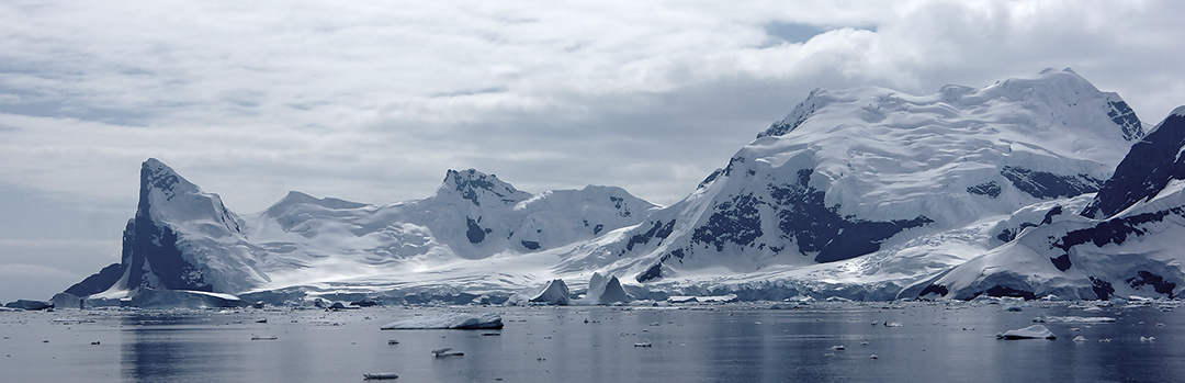
I had the good fortune to visit the Peninsula in January 2013 with a great group of skiers. The team comprised IFMGA guides Jim Kerr and myself, American Ron Mis, Tania Hodgkinson from Germany, and Anto Baird, Stuart Long, Gareth Maker, and Sue Russell from the U.K. Although we enjoyed some fabulous, blue-sky days with no rain, the weather was often gray and overcast, with mild temperatures and occasional snowfall.
After an inauspicious warm-up on Jabet Peak above Port Lockroy, where we found the snow of such poor quality that it was a relief no one was hurt during our ski descent, we made a circumnavigation of Doumer Island and a classic traverse of Hovgaard Island (with an additional fall-line descent to Penola Strait).
We then made camp (65°15.752'S, 64°01.439'W) on the glacier that flows into Waddington Bay, threading our way carefully around crevasses until we reached an altitude of 300m. We soon reached the col by Mt. Mill and descended easily on the south side, from there heading to an easy-looking, twin-summited ski peak on the long ridge leading west to Lumière Peak. This not only gave arguably the best skiing of the trip, but also the opportunity to spy other objectives. We reached both tops and named the peak J2 (944m, 65°18.195'S, 63°04.092'W).
From the same camp we also reached the 590m summit immediately east of the Mt. Mill col. This had a great ski descent via its northern flank. As we made our way back to shore, a small summit of 330m (65°14.413'S, 64°04.092'W) overlooking the sea gave steep fun skiing, and another lesson in crevasse awareness and avoidance.
It was too hot and too late to try Demaria (635m), so we decided to return another day. This we did, and the ascent was one of the highlights of the trip, although I was annoyed to see two helicopters from the luxury yacht SuRi buzzing the summit not long after we left. I have written to IAATO to share my thoughts on this.
We then climbed Cape Perez (ca 650m), although not, I should add, by its vertiginous southwest face, which must be one of the Peninsula's most impressive rock walls. Our yacht skipper had been adamant the peak was unclimbed, but this proved not to be the case (see report below). The snow was so soft and the crevasses so numerous that we ditched roped-up skinning in favor of crampons and light packs. Approaching from the left, which gave a better landing, we climbed the right side of a large snow and ice slope, close to the rocks. Our line was repeated a day or two later by a three-member Brazilian team (led by Joao Barbosa) from the yacht Sauvage.
A probable first ascent was the central peak of Lahille Island, which we named Mt. Louis. It is a great ski peak at 65°32.338'S, 64°23.562'W (ca 545m). After this we headed for a couple of peaks south of King Island in Beascochea Bay, but the snow was soft, visibility poor, and crevasses numerous, so we turned around and, still roped, headed for the shore. I fell into a slot, as the long, ever-so-faint dip failed to register in the flat, gray light. However, these would be good objectives for a future trip. [Editor's note, British Antarctic Survey personnel made minor ascents in this area many years ago.]
The weather now deteriorated, and all we managed before leaving was a repeat of Bruce Island in suboptimal conditions, along with a traverse of Omega Island in the Melchiors. In all, an unforgettable experience shared by a great bunch of people. I am planning to return in December 2015. At Jimblyth.com, there is a selection of photos of skiing in Antarctica.
Media Gallery


