

Cordillera Apolobamba: South to North Traverse
Bolivia, Cordillera Apolobamba
 The international expedition called A Cada Uno Su Thaki (To Each Their Own Trail) was conceived by Anne Bialek (France) and Sergio Condori (Bolivia). Whereas traditional treks in the Apolobamba region tend to follow the Caminata de los Medicos Kallawayas, they envisioned a route that followed the glaciers, and an expedition that would bring together the country’s high-mountain guiding community, without clients or commercial purposes. From Google Earth, a south-to-north trek along the glaciers seemed realistic.
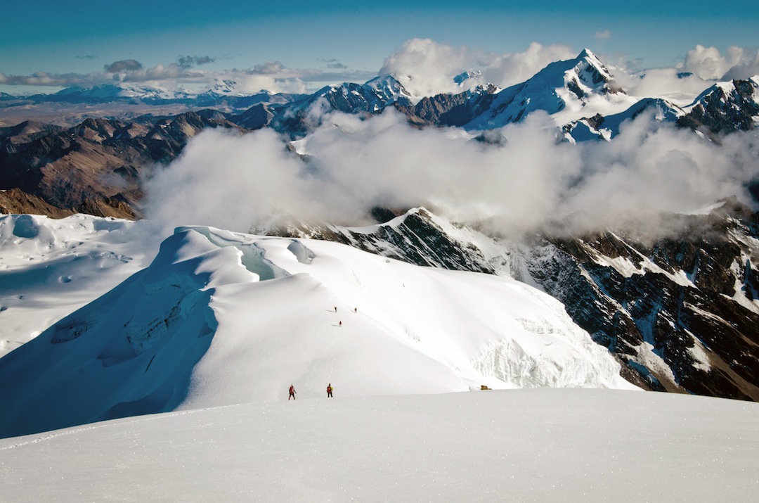
The expedition comprised six UIAGM guides (Hugo Ayaviri Quispe, Julio Choque Alana, Sergio Condori Vallejo, Ignacio Pacajes Silvestre, Nolberto Soliz Mamani, and Rolando Tarqui Choque), Anne Bialek, a videographer/photographer (Vincent Kronental), and support crew. The team began at Laguna Chuchuja (4,230m), at the southern end of the range, on May 17, and finished on May 28 after climbing Chaupi Orco. The route stayed largely west of the main chain, but moved into it to climb and/or traverse five major peaks: Huelancalloc (which Bolivians refer to as Ullakaya, 5,836m); Iscacucho (referred to as Condorini, 5,650m); Cololo (5,915m); Huanacuni (5,790m), and Chaupi Orco Sur, 6,044m.
Returning to a small village at 4,685m on the west side of the range, the team was evacuated by 4X4. In total the journey was ca 147km, and the team GPS recorded 9,955m of ascent and 8,950m of descent. Although none of the peaks or routes climbed appears to be new, this was most likely the first traverse of its kind in the range.
A complete record of the journey, with GPS coordinates on Google Earth maps, is available in the PDF below.
Aimee Verdisco, Bolivia
Media Gallery


